
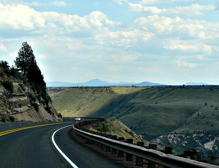
Just before we arrived at the place where I took this photo, off in the distance a little bit, I could see a cut in the earth. A deep cut.

I said out loud, "Are we going down there?" "Yes," they replied. "Do we have to get up out of there to go to Bend?" I asked. "Yes," they replied. All I could think about was how much I hoped there wouldn't be too many curves, not too steep a drop into the cut and not too steep a rise out of it on the other side. And then we were in it.

Warm Springs sprawled before us as we continued downward on Highway 26.
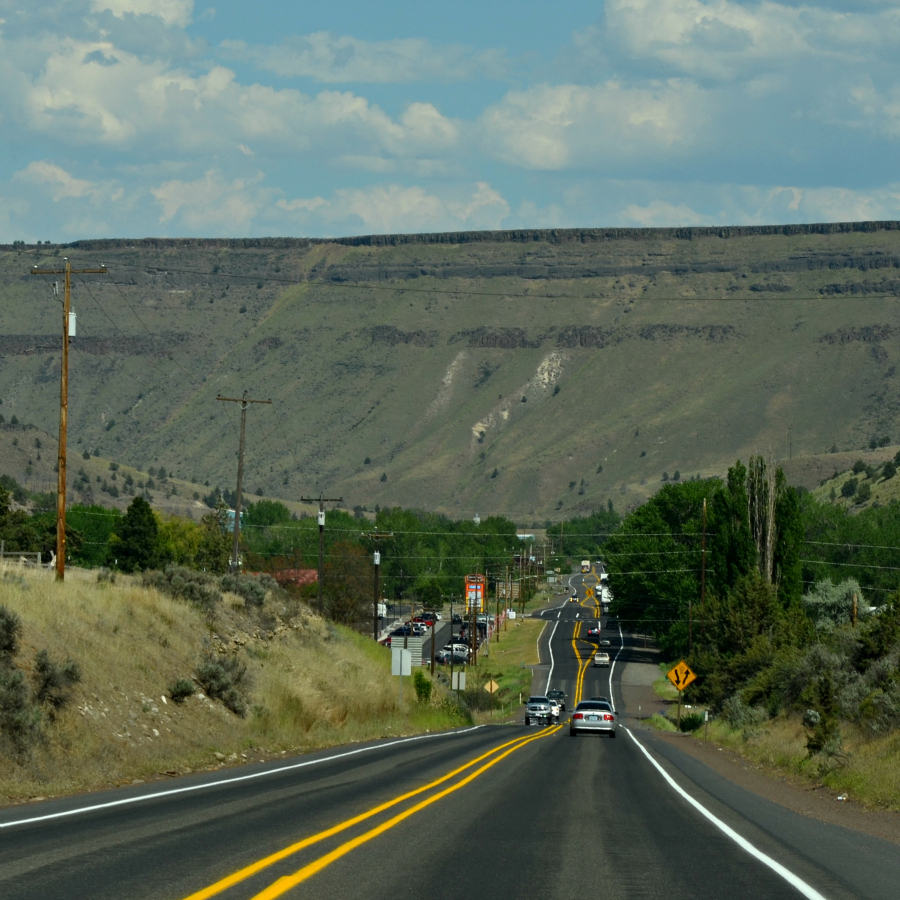
Not too steep. Not too many curves. My fear of heights, not debilitating, just there. My acupressure motion sickness bracelets kept that under control. Down here at the bottom of this drop, on the left, is the Indian Head Casino. I had asked to make a pit stop and to play the penny machines for a few minutes when we arrived in Warm Springs. We left 20 minutes later, me $10 ahead. Yes! I hit a three-ball scatter jackpot on the Tiki Torch, a machine Mama and I liked to play at the Ameristar Casino in Vicksburg, Mississippi, back before we moved to Portland in June, 2006. I think I bet 40 cents, but I cannot remember for sure. All I know for sure is that was the shortest visit I've ever made to a casino. Well, until Sunday afternoon when all we did was make a pit stop, no penny machines for me that time. I'll tell you how I spent my winnings in an upcoming post.
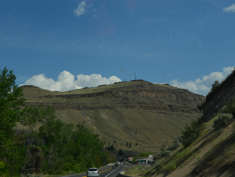
We're about to go up and out of the cut. Isn't the countryside beautiful?
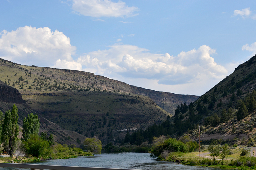
My first sighting of the Deschutes River. I read online that the Deschutes is a major tributary of the Columbia River, that it flows through a rugged and arid part of Oregon, that it provides irrigation for Central Oregon, that it provides a cultural heart for that area, that is is popular in summer for whitewater rafting and fishing. After if passes through Bend and Redmond, north though the Central Oregon desert, it carves a gorge, bordered by large basalt cliffs. At Madras, it is nearly 300 feet below the plateau. Warm Springs is 14.8 miles northwest of Madras, and the best I can tell from looking at terrain maps, Warm Springs itself it at some spots 700 feet below the edge of the plateau. Yep, that's a deep cut. I don't think I saw any basalt cliffs. Still and all, I enjoyed the Deschutes' gorge very much.
6 comments:
Wow, those are great photos. I am always so surprised at how different the Pacific NW landscape is from the South or the East, where I am used to.
Wow too, the long road and the landscape look so epic!
The road and the landscape look so epic!
What a beautiful drive.
I do remember our side trip from Hood River to the Maryhill Winery. Amazing rocks and views.
Very beautiful - I love scenery (and roads) like this.
Post a Comment