
Skipping more photos of food. Let's go sight-seeing in our Engine, our Zipcar Ford Escape! Today, the first of lots of photos, after the two maps. Tomorrow, another map and more photos. Promise.
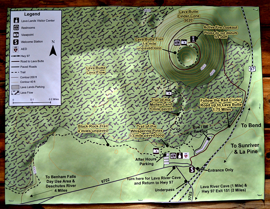
These maps will help you understand what we saw.
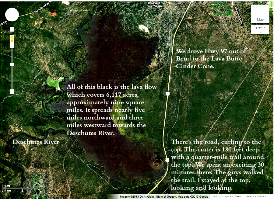
Facts I found on the Internet, I took a photo of the first one while we were there and played around with the second one on the iMac, after I figured out how to screen shot. I cropped it and added the text at PicMonkey:
- Lava Butte rises 500 feet above the visitor center. This cinder cone erupted 7,000 years ago and covered over nine square miles with lava. The butte offers a panoramic view of central Oregon, including a spectacular view of the Cascade Range and the northwest flank of Newberry. An interpretive trail circles the crater rim.
- About 7000 years ago, a dozen or so lava flows and cinder cones erupted from fissures on the flanks of Newberry Volcano. An excellent example is Lava Butte, a 500-foot-high cinder cone south of Bend along Highway 97. A road spirals to the top providing a grand vista of volcanic country. Here, gas-charged molten rock sprayed volcanic foam (cinders) into the air. These fell back into a pile to form Lava Butte. As the eruption proceded, the amount of gas (mostly water vapor) contained in the molten rock decreased and lava poured out the south side of Lava Butte and flowed 6 miles downhill. The lava spilled into the nearby Deschutes River forming lava dams in some places and shoving the river westward out of its channel in others.
- Fire Lookout and Visitor Rest Area This cinder cone rises 500 feet from the surrounding forest floor offering breathtaking views of the Cascades. At the 5000-foot summit is a fire lookout and visitor rest area with interpretive displays.
- I read that the total height we attained was 5020 feet, which includes the nearby terrain, plus the 500 feet of the Lava Butte Cinder Cone.
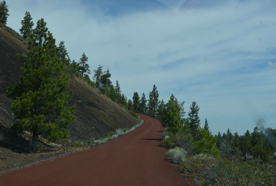
The red cinder road which the forest ranger told us to follow, after he handed us our timed pass. We ended up with 30 minutes at the top.
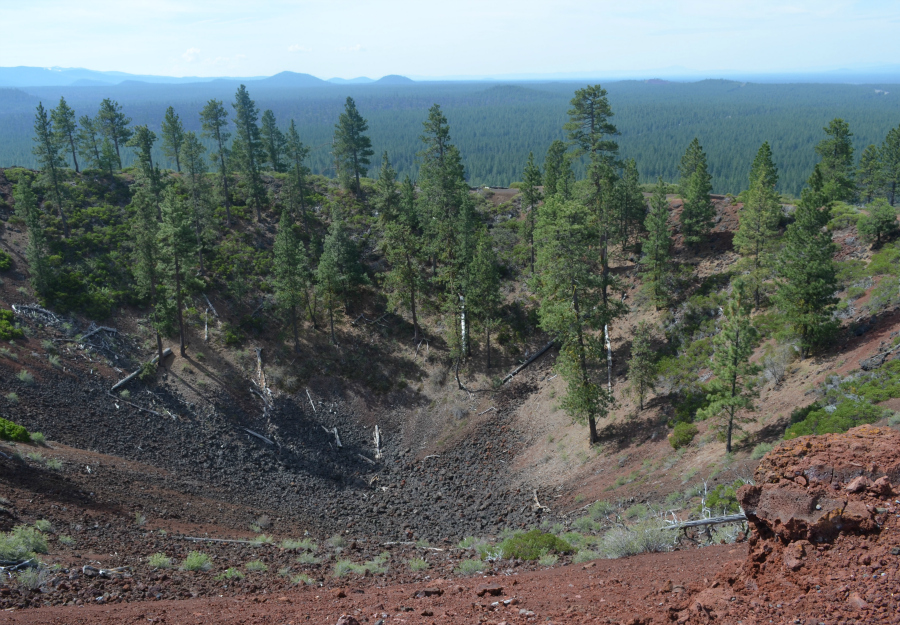
The crater, taken from the parking lot sidewalk before I got brave enough to go on up to the top.
1 comment:
What a great place to explore.
Post a Comment