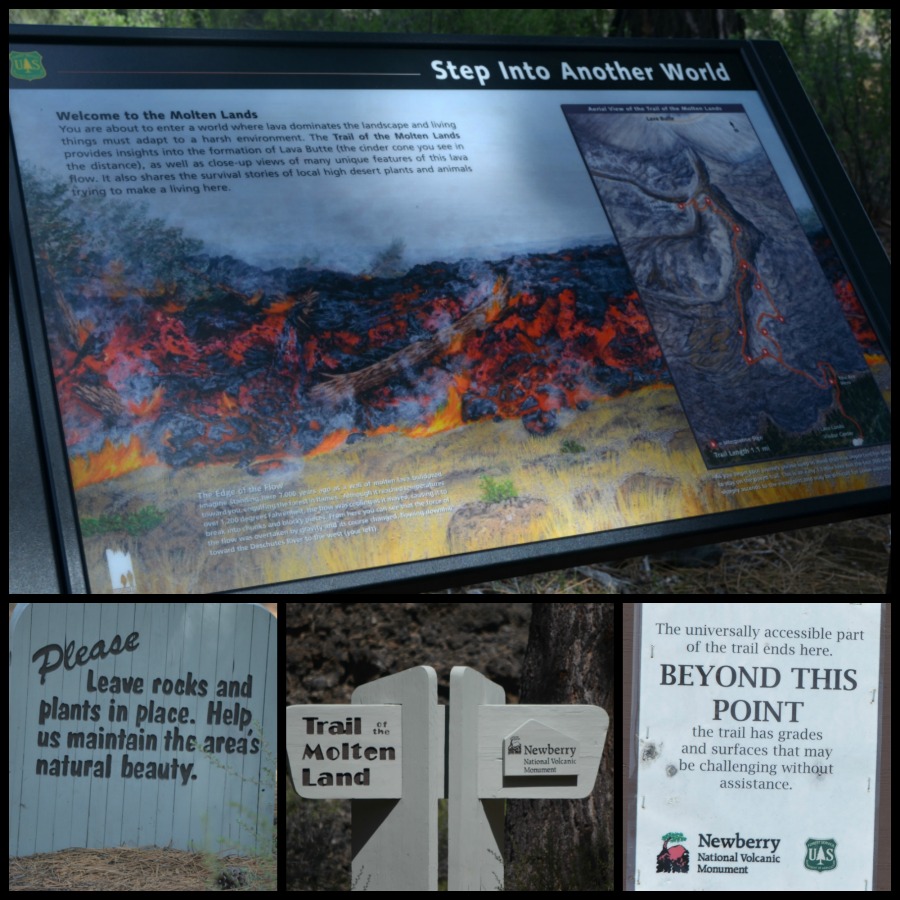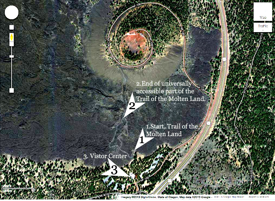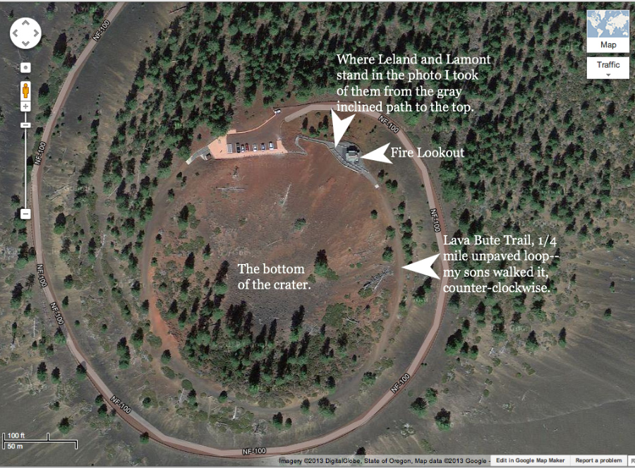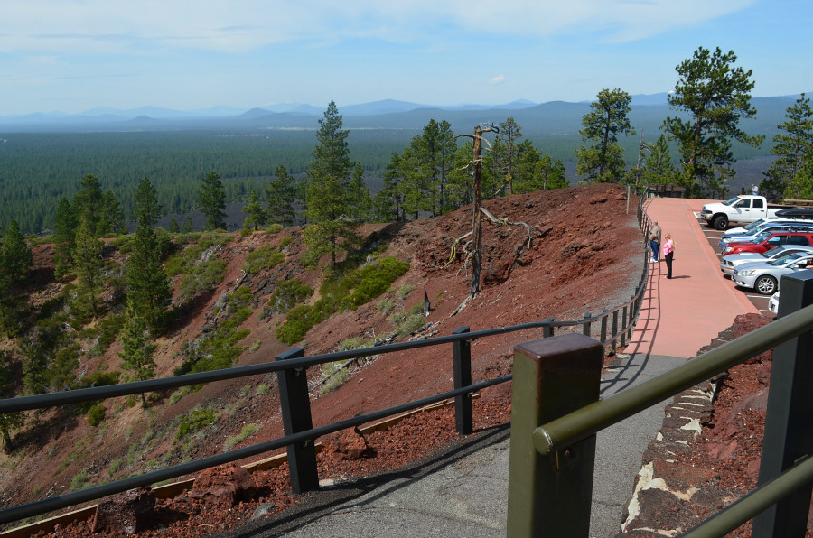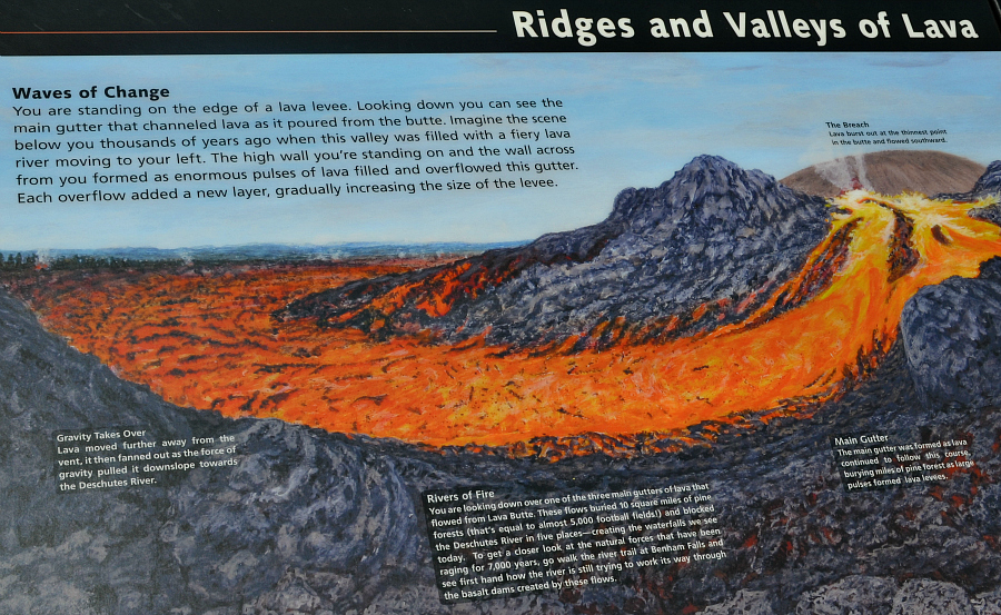
Ridges and valleys of lava. Yes, indeed. At the top left of this sign, the breach is mentioned as the weak spot in the butte through which the lava flowed southward.
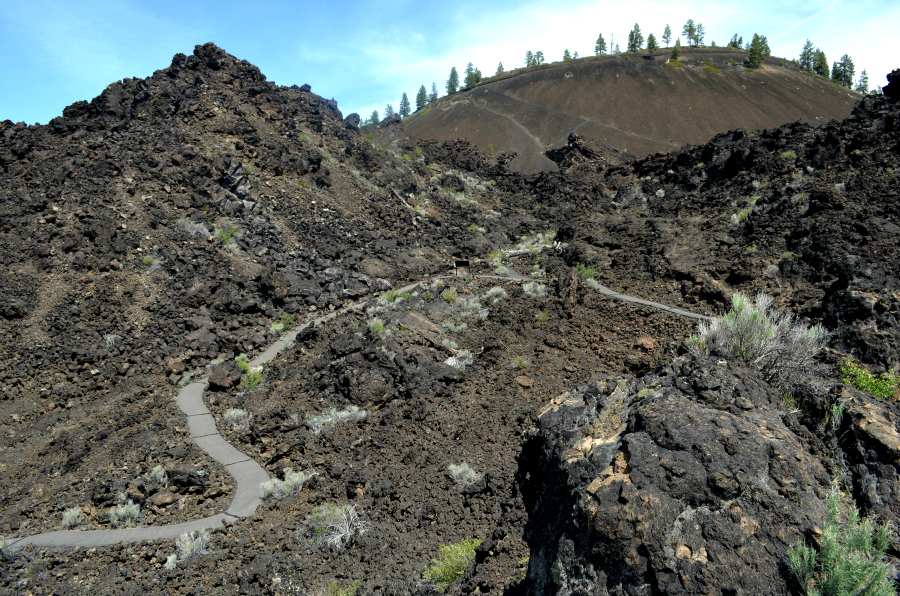
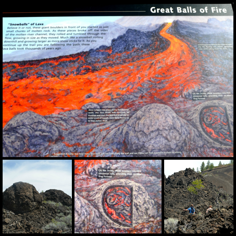
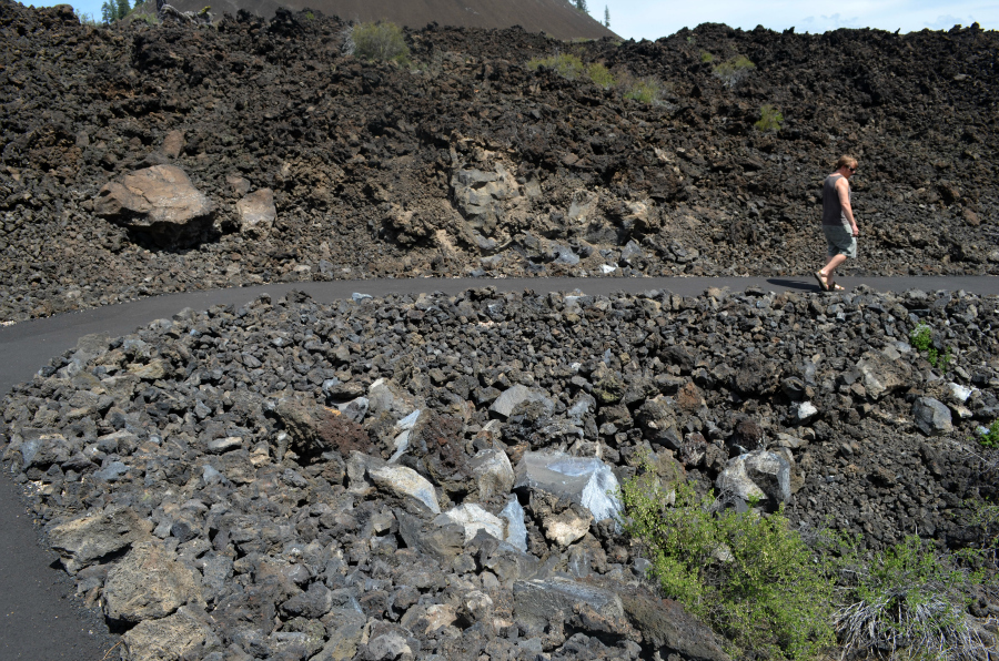
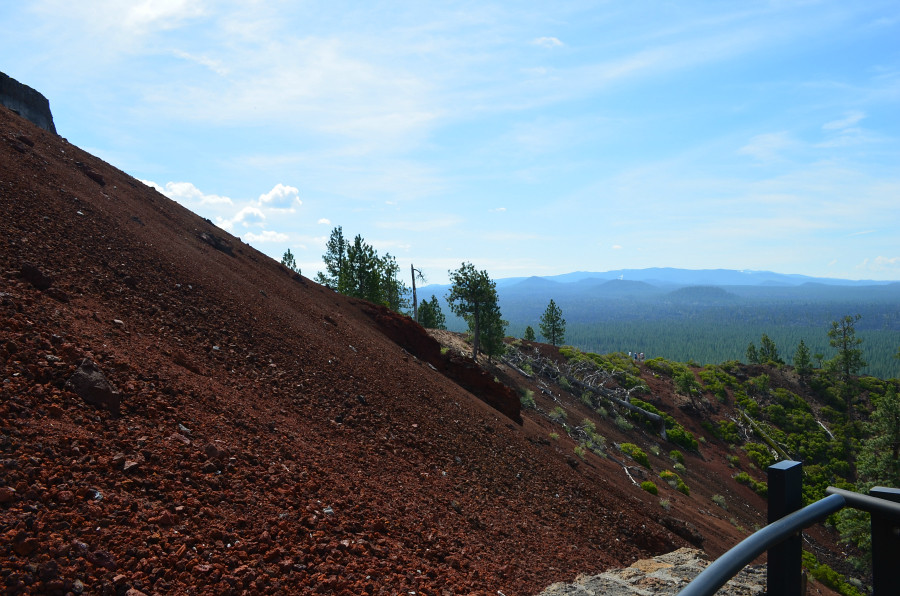
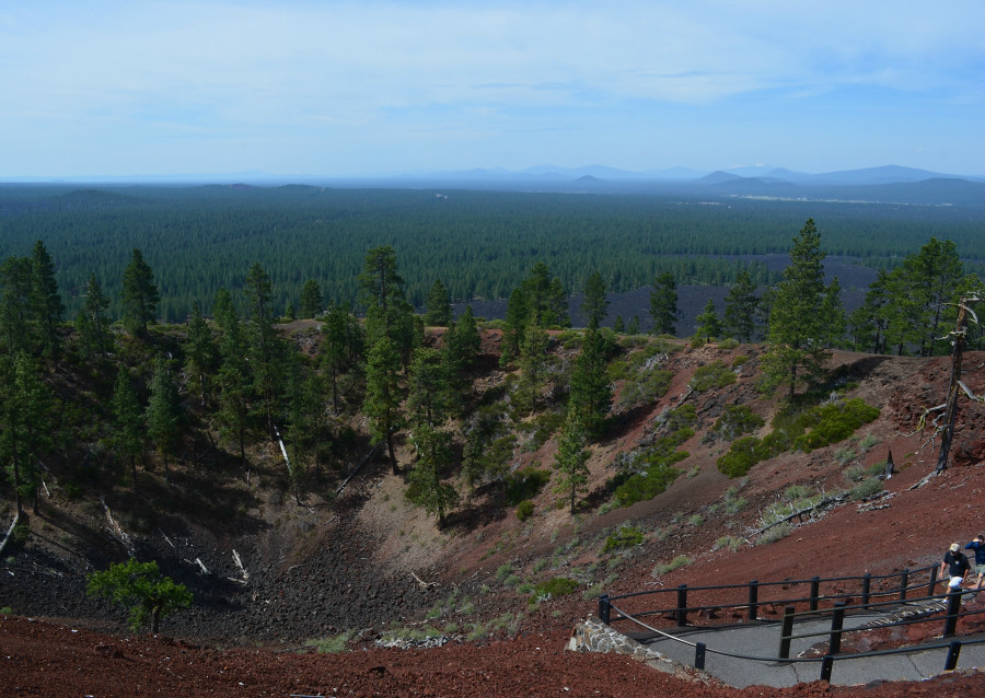
The huge orange fiery lava flow on the sign is labeled one of the main gutters. It formed as lava continued to flow from the breach. Lava buried miles of pine forests (equal to 5,000 football fields) as large pulses of it formed the lava levees. The levees are on each side of this photo. Please follow the curving path from left to right. (This part of the trail is that which had been identified as having grades and surfaces that might be challenging without assistance. I didn't walk down there--my goal is to go back and walk there someday, with my sons, of course.) As the path turns right, I hope you can see the tiny informative sign just at the edge of the narrower light gray path. Actually it is the back of the sign--it's black, rectangular and has two skinny little legs. The tiny size of that sign lets you know how far away it is from where I'm standing and how deep this gutter really is. At least I hope that's how you're able to see it in this photo.
Maybe you can see the size and distance in this image. Let me know what you think, please. Thanks! The black sign is near the left side of the photo, just below center.

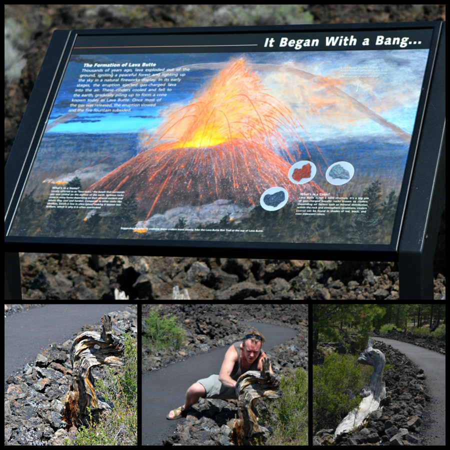
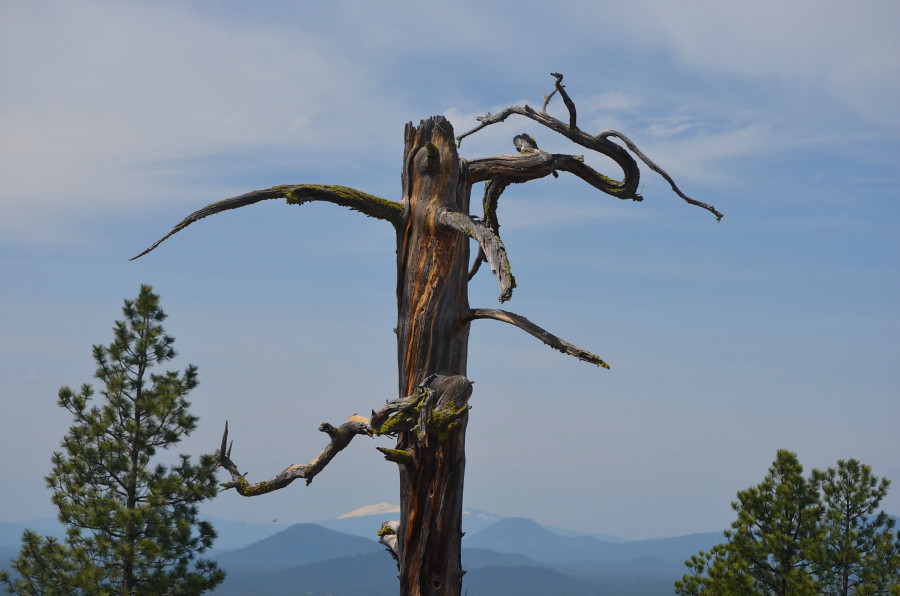
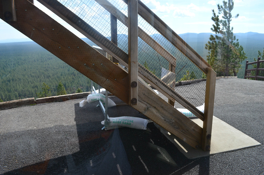
While walking through this vast lava flow, I came across an astonishing sight . . .
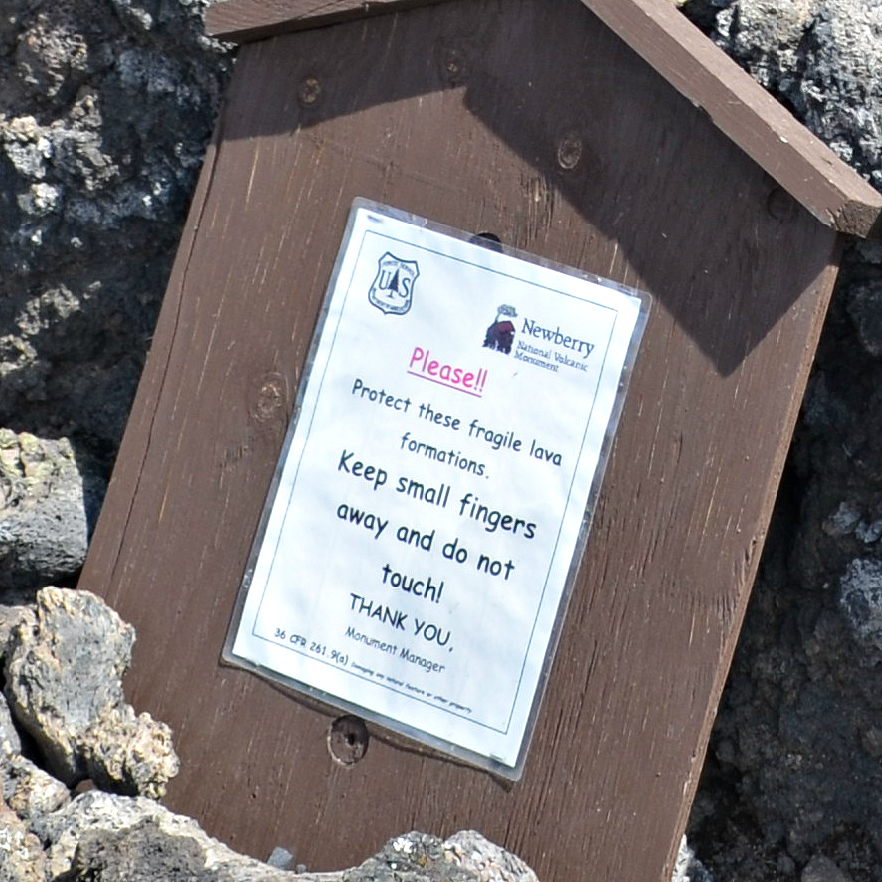
. . . with its own sign.
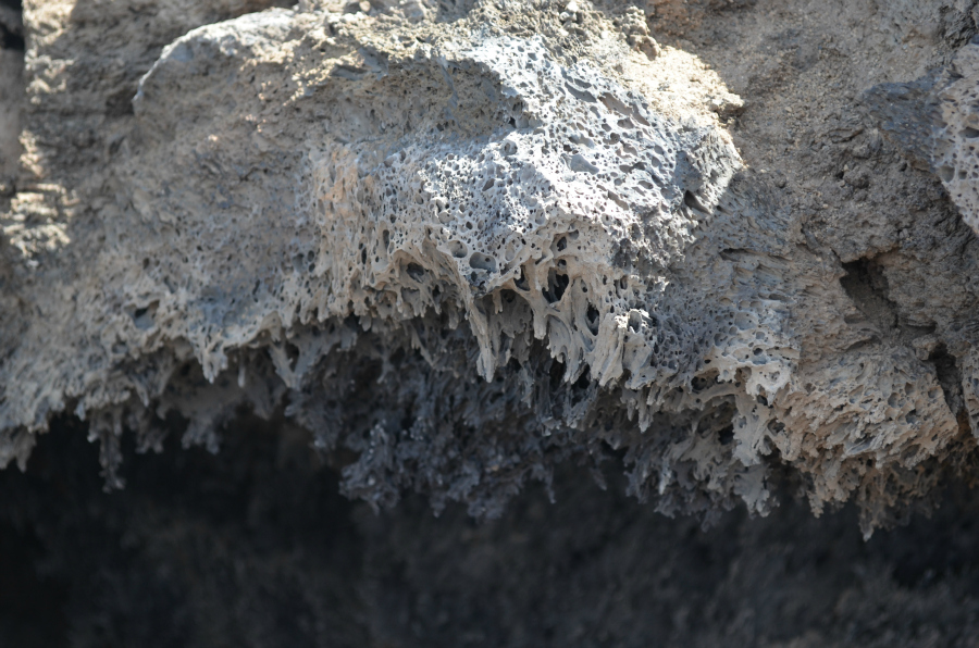
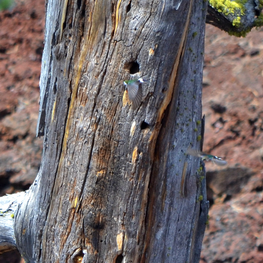
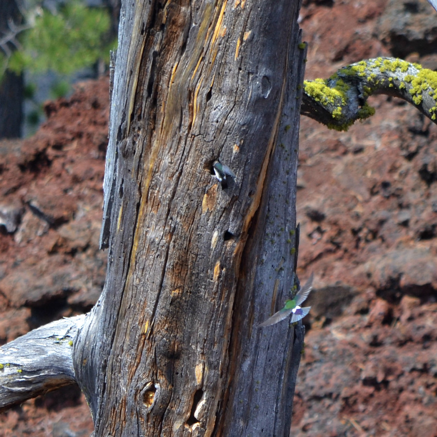
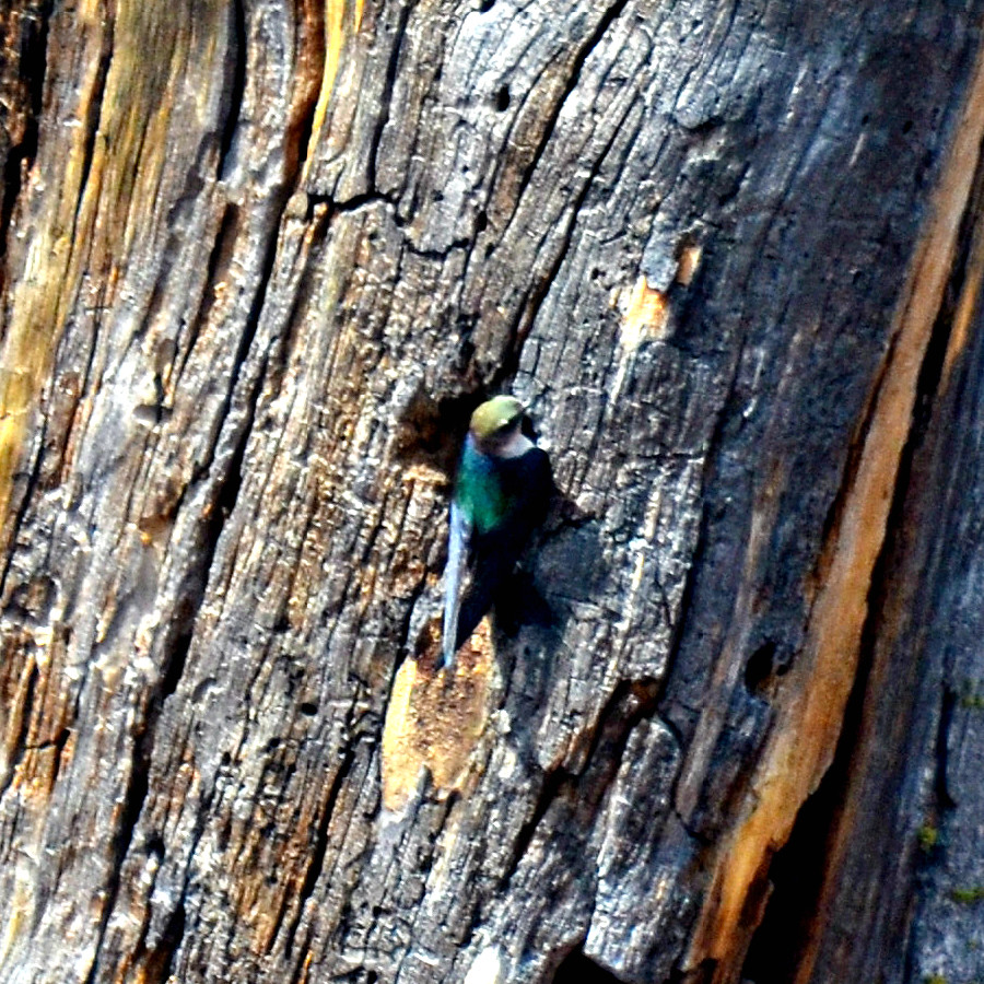
Close-up #1
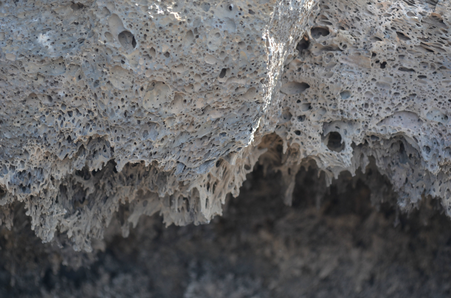
Close-up #2
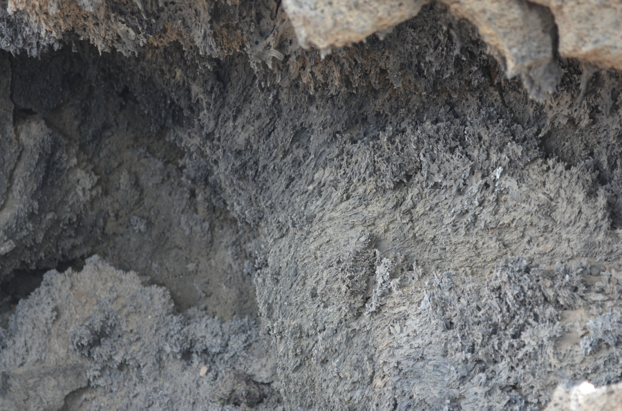
Close-up #3

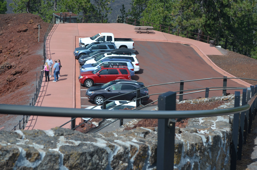
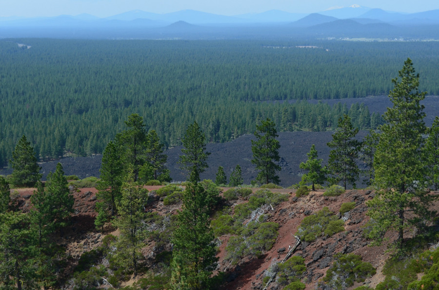
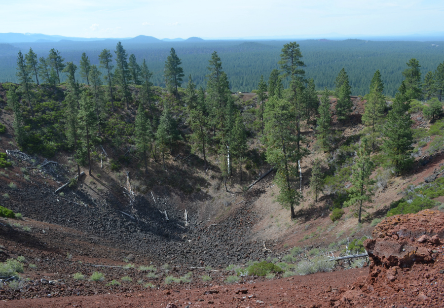
After we looked around this part of the lava flow, we turned around and headed back towards the visitor center. This is the view along the edge of the lava flow. It just stops. Stops. Amazing.
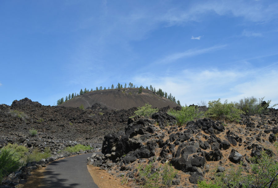
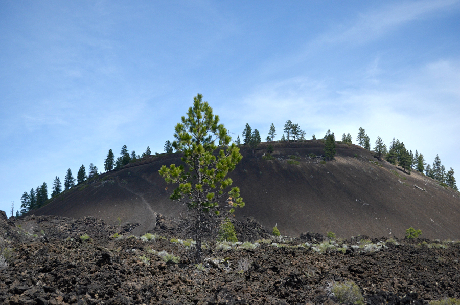
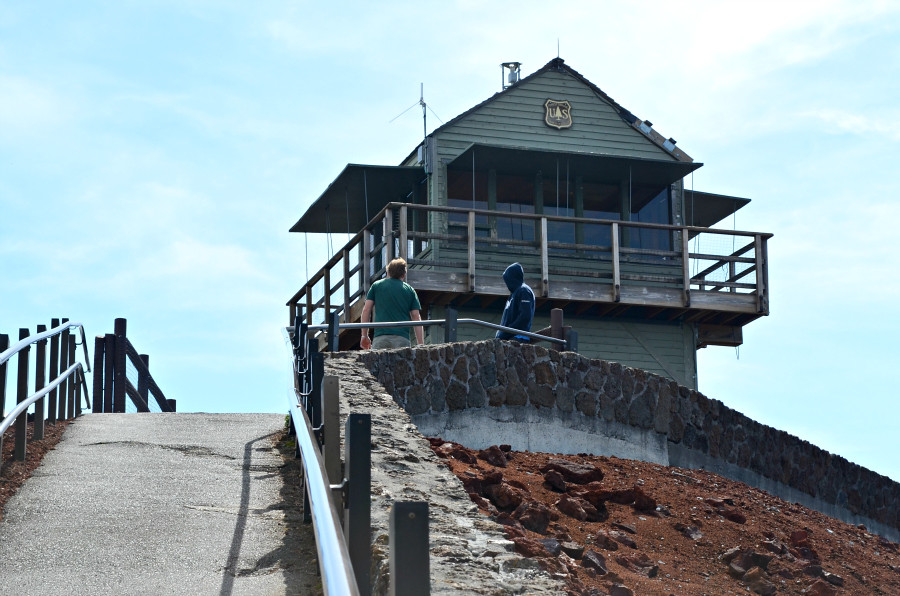
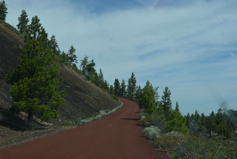
As the trail continued on its way to the visitor center, I took this photo which also gives you an idea of the height of the lava flow.
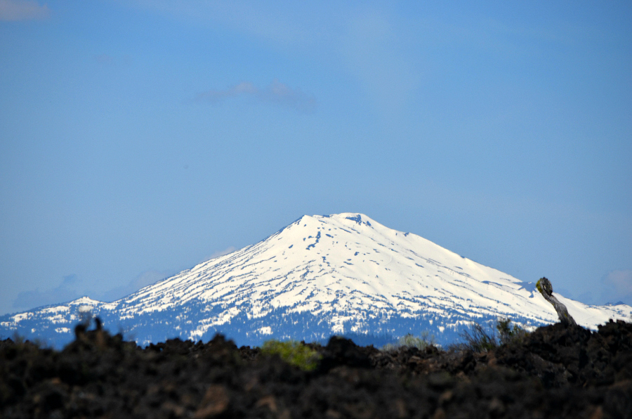
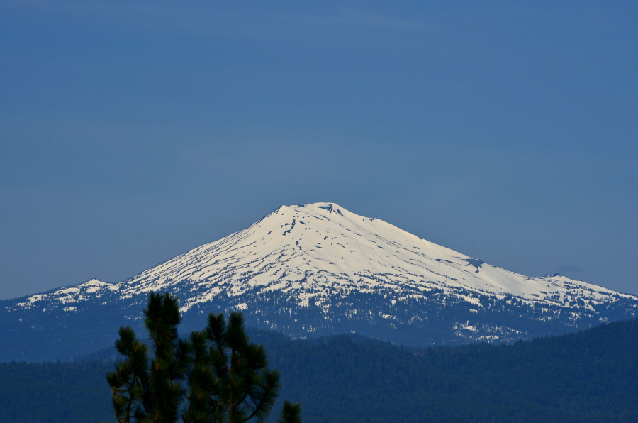
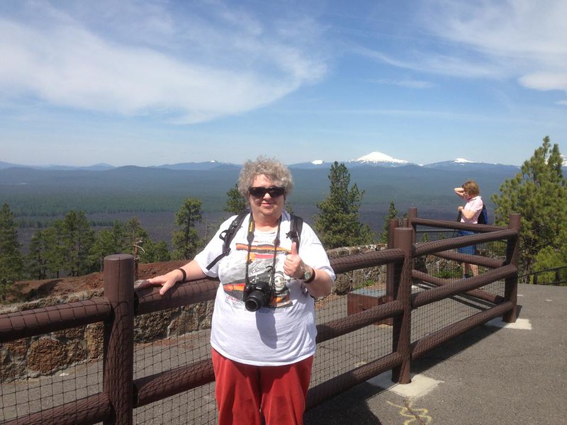
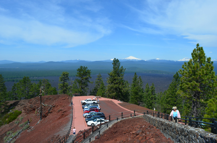
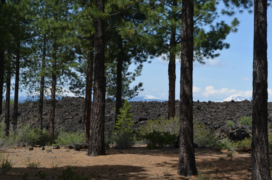
I think the mountain on the left, through the pines, is Mt. Bachelor. Here's a photo that I took of it when I was out on the Trail of the Molten Land. We soon left this all behind and headed for the Cascade Lakes Scenic Byway. Lamont and Leland wanted me to see some lakes, some mountains, and some snow.