
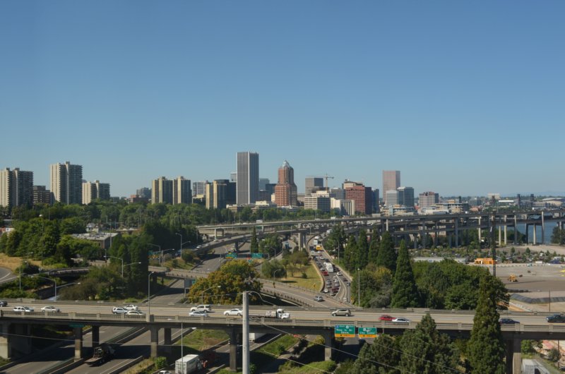
Looking north from the Aerial Tram, the Ross Island Bridge running east and west across the bottom of the photo, the Marquam Bridge curving north and south.
The Marquam Bridge--the upper deck is I-5 northbound, the lower deck is I-5 southbound.
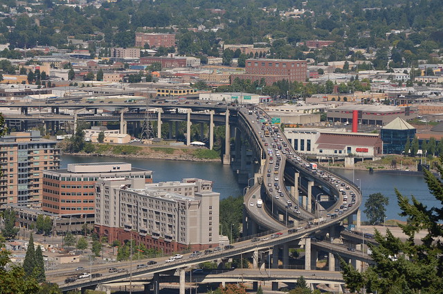
The Ross Island Bridge goes over the Willamette River between southeast and southwest Portland. At the right edge of the photo, about a third of the way up from the bottom, you can see the Aerial Tram. I'm not sure if it is coming up or going down.
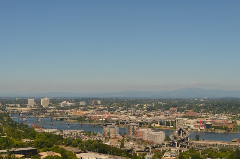
Looking pretty much northeast, you can see lots of southeast, northeast and north Portland. The bridges are, from right to left, Marquam, Hawthorne, Morrison, and Burnside.
7 comments:
Those pictures are beautiful! It looks like you were having perfect weather that day.
Great views! I really want to visit there someday.
This is like a geography lesson, Lynette.
Looks like you are showing your friends a good time and I am really enjoying your 'tour of the city'.
We saw it. Would have love to take it had time allowed. Did see the "Up" house too. Sooooooo cool!
beautiful views, arnt you glad you are not on that busy bridge?
Great Old Aerial photos! Looks like you had a gorgeous and perfect weather that day!
Post a Comment