Showing posts with label Pontcysyllte Aqueduct. Show all posts

Wednesday, December 3, 2014

ESHT 2014 - What I saw on my walk across the aqueduct and back to the coach


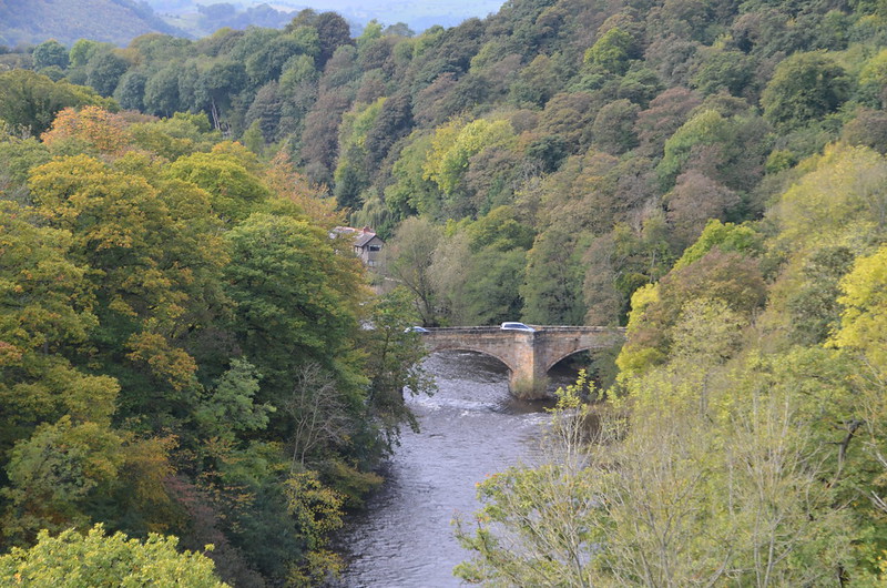
DSC_0951

To my right: These trees seem to be right at the beginning of changing their colors. Would love to be there when they're at their fall foliage peak.
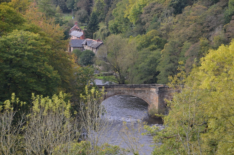
DSC_0950

To my right: A closeup of the bridge over the River Dee. On Google Maps, I think I've found the correct bridge--it's on the Gate Road. I'm going Google Map walking!
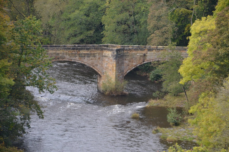
DSC_0957

To my right: An even closer look at the bridge. I wonder how old it is? And why do the supports make that diamond-shaped space available? In one of my Google Walk shots, I noticed a pedestrian/walker standing in this very space, looking at the river. Perhaps whenever this bridge was built, the designer wanted to provide a spot for people to stop and take in the beauty of the River Dee and its surroundings. At each end of the bridge there's a round white sign with a red border that reads >6'6"< which I take to mean the width of the bridge. Right below it on the same pole is another sign that says "Except buses and coaches," in English and Welsh. Does that mean no bus, no coach? I'll bet the coach we were on was wider than that!

DSC_0947

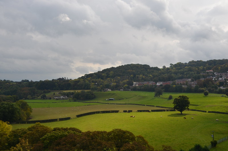
To my left: With all of those clouds, the random appearance of the sun proved fleeting. The haze impacted the view, too.
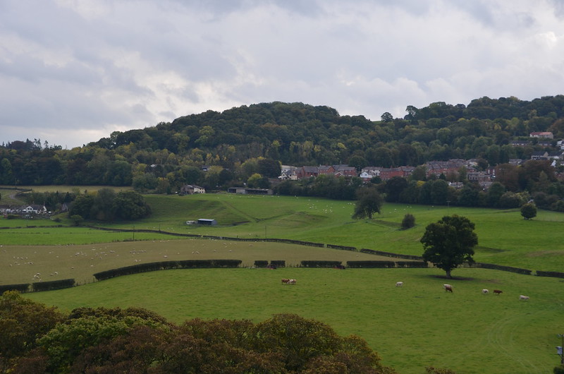
DSC_0963

To my left: See what I mean?

DSC_0974

To my left: I like this one best--sweet shadow beneath the tree in the corner of that field.
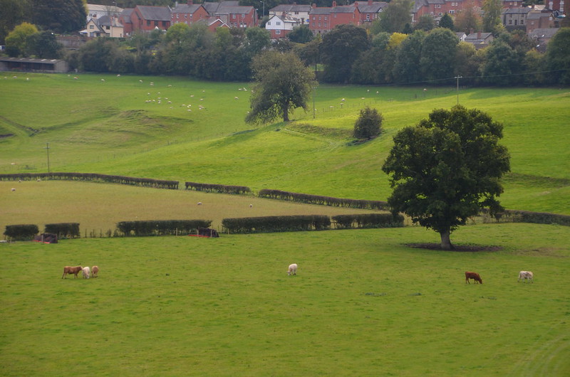
DSC_0977

To my left: A close up a few seconds later and you can see how the shadow beneath the tree has already changed.

DSC_0968

To my left: Here's the River Dee, and in the distance, the Cefn Mawr Viaduct. To find it, look above the last of the visible water, then above all of those trees. See the row of arches?
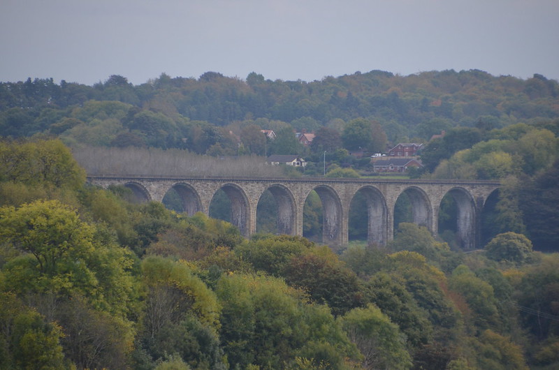
DSC_0965

To my left: Here's a close up for you, taken through the haze, shown straight out of the camera. I read this on the Internet: The Cefn Mawr sandstone Viaduct, built by Thomas Brassey, railway contractor, in 1848 to carry the Shrewsbury and Chester railway across the valley of the River Dee.

I also read this on the Internet: The Chester and Shrewsbury railway runs at the eastern end of the Vale of Llangollen, beyond the parish boundary, passing through Cefn Mawr on route from Chester to Shrewsbury. It is carried over the River Dee by a stupendous viaduct, half a mile down stream from the Pontcysyllte Aqueduct. It measures one thousand five hundred and eight feet in length, and stands one hundred and forty-seven feet above the level of the river. The structure is supported by nineteen arches with sixty foot spans. Construction on the viaduct began started in 1846 and was completed in 1848. Civil engineer and railroad pioneer Henry Robertson completed plans for crossing the River Dee at Cefn Mawr.

What was instrumental to the ability to complete the construction of both the Cefn Viaduct and the Chirk Viaduct in only two years was the Shropshire Union Canal or what is now called the Llangollen Canal for the shipment of sandstone form the quarries of Cefn Mawr on the north side of the River Dee valley across the Pontcysyllte Aqueduct to the south side and onwards to the Ceiriog Valley.

So cool! We really touched history on our aqueduct adventure!
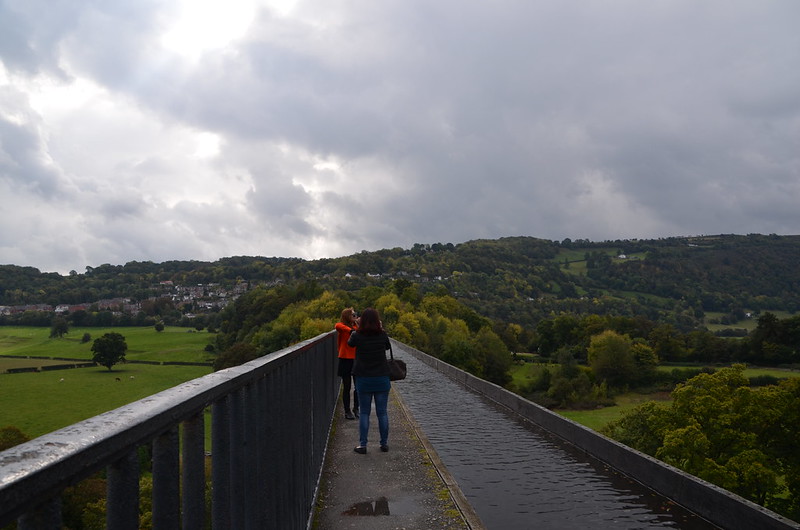
DSC_0978

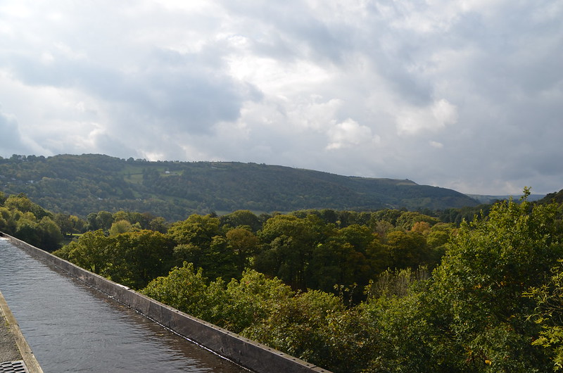
Here's a view of the Poncysyllte Aqueduct that shows you the landscape on both sides at once. The overcast increased, and I soon turned around and started walking back to the coach.
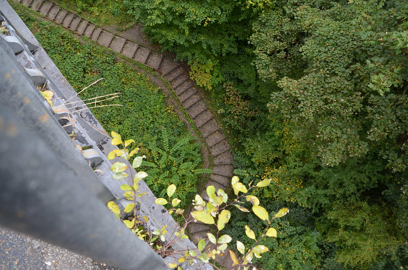
DSC_0979

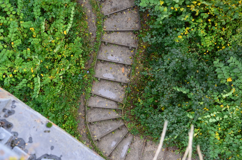
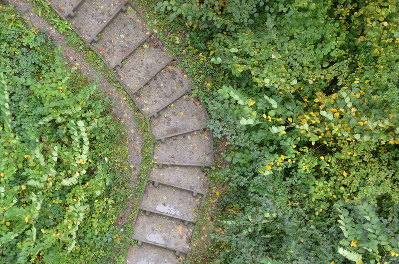
As I neared the entrance to the aqueduct, I stopped for a moment and then looked down. Imagine my surprise when I saw this path made of steps. I like the curves of it in juxtaposition with the rectangles made by the steps.
DSC_0980

Close up--really cool.

DSC_0981

One more close up. I couldn't stop looking, and considering my fear of heights, I feel blessed to have been able to see this path.
DSC_0982

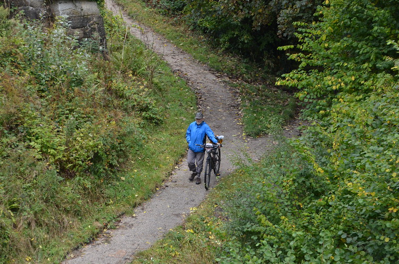
I glanced up the slope and saw this man with his bicycle. So neat!

DSC_0988

Pretty roses in bloom in early October.
DSC_0989

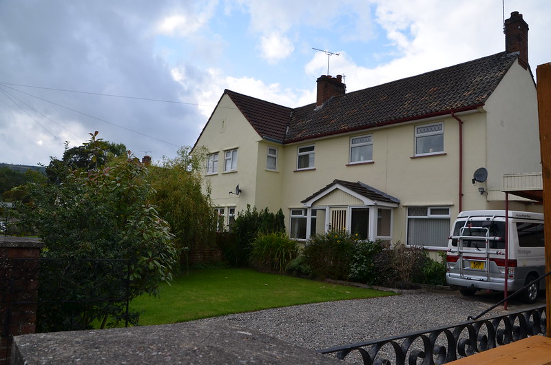
To me, this house looks much larger than others nearby.
DSC_0987

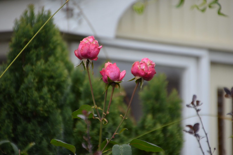
One last look at the autumn roses. Next post--I start my photos of Llangollen!

Tuesday, December 2, 2014

ESHT 2014 - The narrow boat and the canal on the aqueduct


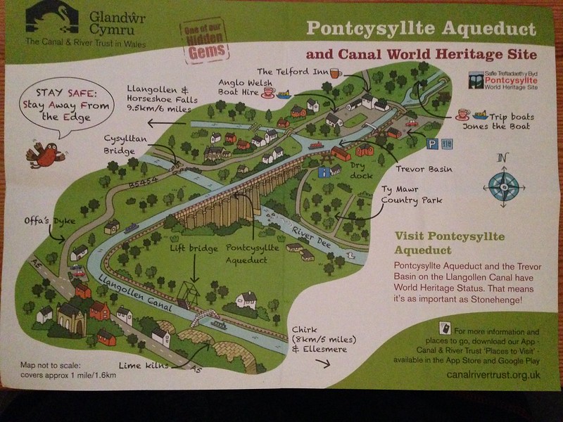
Pontcysyllte Aqueduct Map, Wales

Sweet map. See the aqueduct over the River Dee in the center of the map? Look above it in the light gray area and find the words Anglo Welsh Boat Hire. Where the arrow points to the right from those words is where we began our aqueduct adventure, crossing that narrow little footbridge and turning right to walk along the towpath. Look to the left of the footbridge at the three white buildings with their black roofs in the parking lot. Right up against the back of those buildings, you'll see the narrow bridge on the New Road--the one Tommy tried to drive the coach over and couldn't because of its width and angles. Look down the canal from the footbridge towards the aqueduct itself. See the canal that dead ends into the waterway that crosses the aqueduct? It goes to Llangollen, which is where I think the couple on the Prince had been and now they're on their way back to Chirk--see the arrow at the bottom right of the map--and the end of their adventure so that they can return the Prince to Crest Narrowboats.

DSC_0925

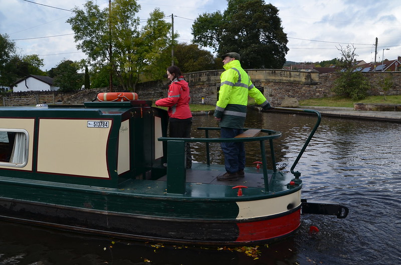
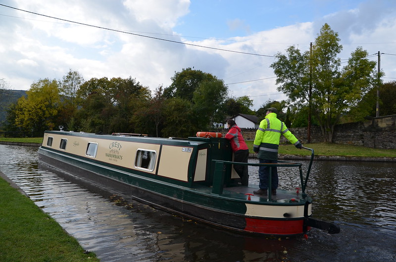
The couple on the Prince.

DSC_0926

They certainly look relaxed.

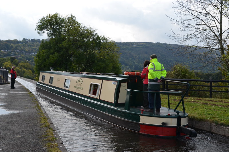
DSC_0938

Now that they're nearing the aqueduct which is 126 feet above the River Dee, the man appears more engaged as he guides the boat. I would be, too, if I were in charge. Not that I'd be brave enough to give it a go. Remember reading this a couple of days ago on the blog? The trough sides rise only about 6 inches (15 cm) above the water level, less than the depth of freeboard of an empty narrow boat, so the helmsman of the boat has no visual protection from the impression of being at the edge of an abyss. Scary sounding to me. And here's some advice about being on the narrowboat from the Canal & River Trust Web site: It is recommended that elderly passengers, children and pets should remain inside the craft during the crossing.

From the Canal & River Trust Web side: Pontcysyllte Aqueduct

Everyone should experience a trip over Thomas Telford and William Jessop's awe-inspiring Pontcysyllte Aqueduct, by boat or on foot. It is a Scheduled Ancient Monument; a Grade I Listed structure – and in June 2009 became a World Heritage site, putting it on an equal footing with the Great Barrier Reef and Statue of Liberty. The aqueduct, taking the Llangollen Canal over the beautiful River Dee valley, is 1000 feet long and 125 feet high. Such distances had never before been conquered, until Telford's audacious decision to build it by laying an iron water-carrying trough on stone piers. To this day, the joints are effectively sealed using a mixture of flannel and lead dipped in liquid sugar. For those crossing in a narrowboat, the effect is that of being suspended in mid-air. The iron trough sits about a foot above the water level and is unprotected on one side - so on one side of the boat there is nothing but 128 feet of air to the valley floor below.

And for the non-Welsh speaker, Pontcysyllte is pronounced 'pont-ker-suth-tee' - - you may need to practise the famous Welsh 'll' sound.

DSC_0941

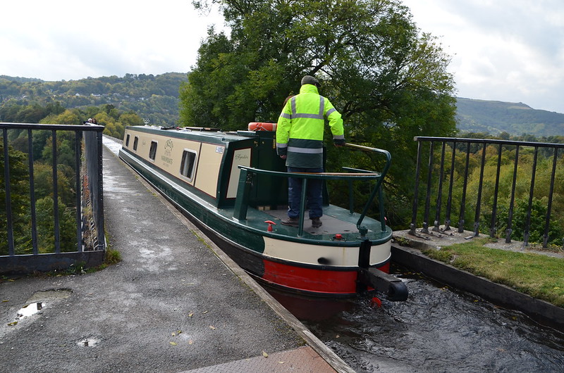
The cast iron trough which holds the canal water is 11ft wide, 5 ft 3 ins deep and 1,007 ft long at its highest point. The Prince enters the aqueduct itself. Right past that tree--that's where the looking into thin air begins!

DSC_0942

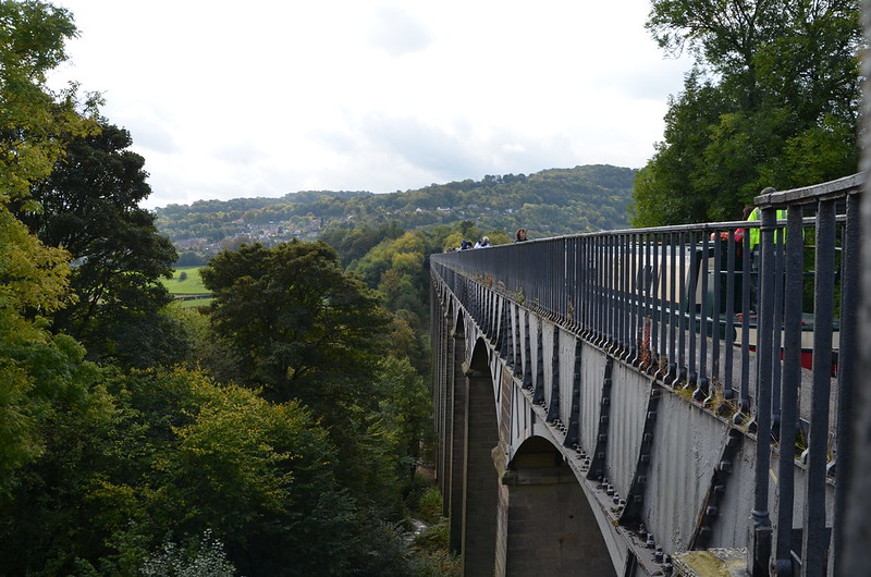
There are 19 arches, each with a 45 ft span and piers 116 ft high. To keep the aqueduct as light as possible, the slender masonry piers are partly hollow and taper at their summit. The mortar was made of oxen blood, lime and water. The use of both cast and wrought iron in the aqueduct enabled the construction of arches that were light and strong, producing an overall effect that is both monumental and elegant. Before I got too far along the towpath, I held the camera over the side and took this photo to show you part of the construction. Amazing!

DSC_0943

What a sight to see, this section of the 1007 foot long aqueduct with a narrow boat making its way across. Wow!

DSC_0945

The beauty all around, the fact that we're on an engineering marvel that has been in place since 1805, so awe-inspiring. Thank goodness we had sunshine so that we could enjoy the walk along the aqueduct's towpath. The towpath is mounted above the water, with the inner edge carried on cast-iron pllars in the trough. This arrangement allows the water displaced by the passage of a narrow boat to flow easily under the towpath and around the boat, enabling relatively free passage. Pedestrians, and the horses once used for towing, are protected from falling from the aqueduct by railings on the outside edge of the towpath, but the holes in the top flange of the other side of the trough, capable of mounting railings, were never used.

DSC_0946

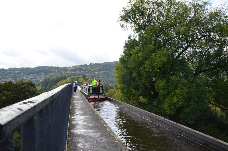
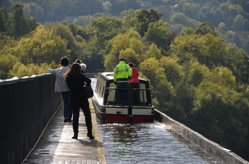
Can you believe I'm on this aqueduct, taking photos? My fear of heights did not come into play as long as I stayed near the railing on my left. I wonder why the railing on my right was never installed when the aqueduct was built? Every five years the ends of the aqueduct are closed and a plug in one of the highest spans is opened to drain the canal water into the River Dee below, for inspection and maintenance of the trough. The aqueduct holds 1.5 million litres of water and takes two hours to drain.

DSC_0953

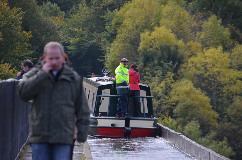
Always curious, I'm wondering what made the man on the Prince look away from what he was doing as he operated the narrow boat. Especially when you take a closer look and notice that there is a man seemingly right in front of the boat, not along its left side as we've been seeing. I walked the aqueduct on Google Maps and saw that the path is on both sides of the canal once it joins land again. I saw the top of a stairway on each side of the canal--I had read that you could go down to see the River Dee, so these steps on the far side of the aqueduct are one way to do that, and they explain how the man ahead of the boat appears to be on the other side of the canal.

Sunday, November 30, 2014

ESHT 2014 - More sights I photographed during our aqueduct adventure--my head swiveled every which way, seeing so much of interest


DSC_0912

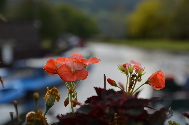
The flower boxes on my left side as I crossed the footbridge caught my eye as I looked around, noticing so many interesting sights.

DSC_0915

To my right, beautiful blossoms with the aqueduct in the background.

DSC_0916

Back to the left, striped petunias! I had no idea these even existed.

DSC_0917

You can tell just how bright the sunshine was in this particular photo. Our luck held, no rain even with that gray sky in the distance. There on the left of the canal, James photographs Martina--a very nice couple among many fine folks in our tour group. One of these days, I hope to see his photos because I imagine, no, I know that they will be outstanding!

DSC_0918

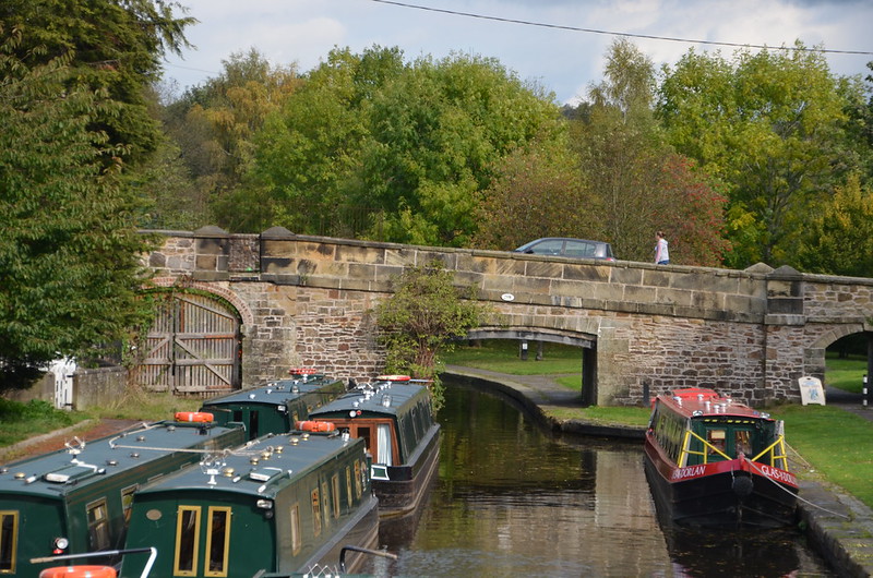
I turned around one more time before walking down the steps and off the footbridge. Am I ever glad that I did because I decided to zoom in on the bridge on the New Road. I wonder how old it is? Very old is my guess. See those two gray trapezoid shapes atop those short, pillar-like structures towards the left of the bridge. There's a wrought iron gate there. Well, I assume it's a gate, but why would a stone wall on a bridge have a gate, or an opening, for that matter? Anyway, you can see through it the different colored stones which are on the inside of the bridge's opposite wall.

DSC_0895

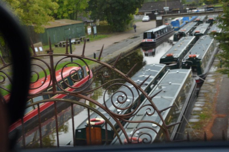
So, when I noticed the wrought iron in the close up of the bridge, I remembered a photo that I had taken through the coach window while we backed off the bridge. Now it makes sense! Thanks, zoom lens!

DSC_0920

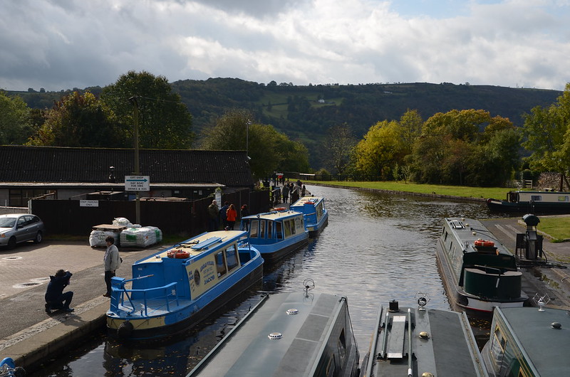
Now I'm off the footbridge and on the towpath. You can see the bridge that the Prince came through, over on the right side of the photo. Notice the yellow-green jacket right at the roof of the blue boat? That's the man on the Prince, guiding it through the turn, per the instructions given to him when he rented the narrow boat. In looking at Google Maps and trying to follow that canal visible underneath that bridge, I believe that you go to Llangollen that direction. Our next coach stop--Llangollen!

DSC_0924

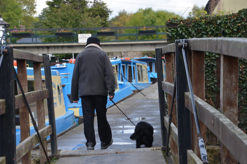
As I walked along the towpath I noticed these two enjoying their walk. So, after they passed, I looked behind me, hoping to get a photo of this gentleman and his friend. Not as good as I wanted, but I think it shows their comfortable relationship. I also like that you can see the footbridge and its flower boxes in the distance.

DSC_0927

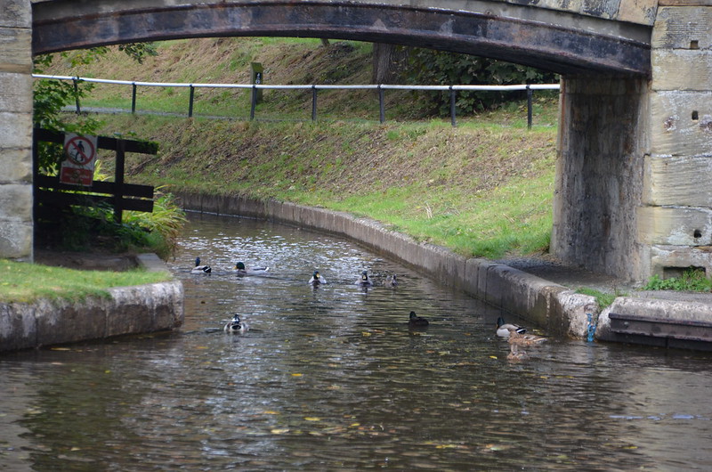
Across the way, ducks in the canal that comes underneath the bridge, the one that the Prince used to get onto the canal on the aqueduct, the one I believe goes to Llangollen--it's labeled the Shropshire Union Canal Llangollen Branch on Google Maps. Looks like you're not allowed to walk along this section of this canal, maybe elsewhere but not here although I did follow it on Google Maps and couldn't tell if there is walking space provided alongside it because the trees lining both sides block the view from above, so I dropped the Street View icon in there and saw a towpath! I've walked along the canal! My, oh, my. Would I ever like to be able to afford to rent one of those narrow boats and make this trip! What an adventure! Gorgeous scenery, lots of stone bridges to go under, all sorts of narrow boats going either way along the canal, and then I came to the Llangollen Moorings where quite a few boats had tied up. You buy a mooring ticket, park, and go on the towpath where you will. I imagine there's a time limit on the ticket.

DSC_0929

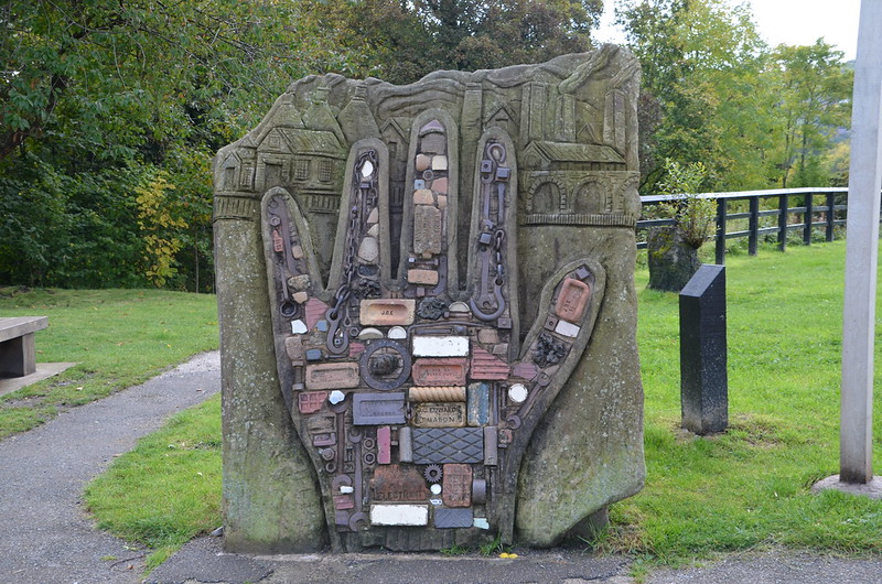
Back to my side of the canal, along the towpath, a sculpture. I like it. I found it labeled the Hand of Industry on several Web sites. Once you take a look at it, that certainly makes sense.

Friday, November 28, 2014

ESHT 2014 - Several photos of boats, a canal, and a footbridge, taken through the coach window

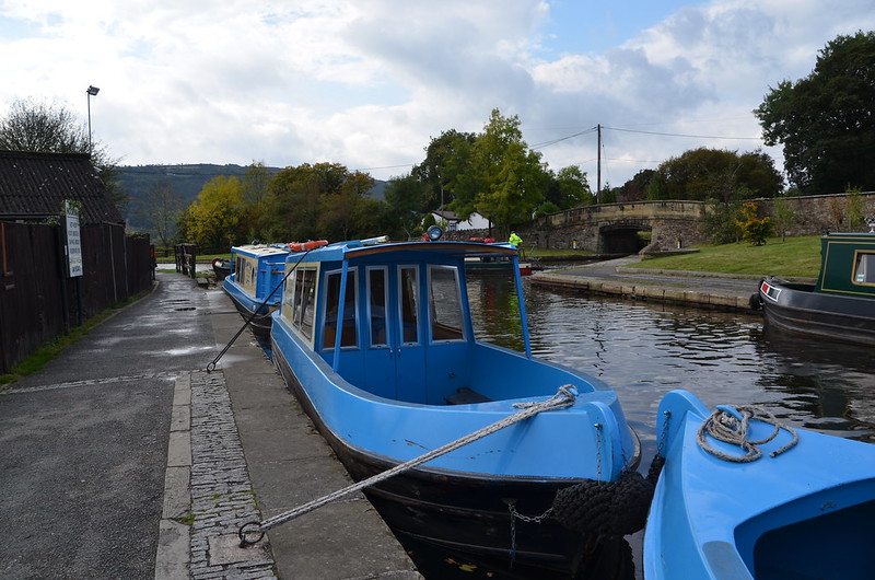
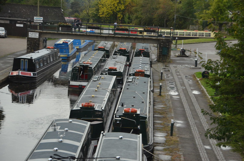
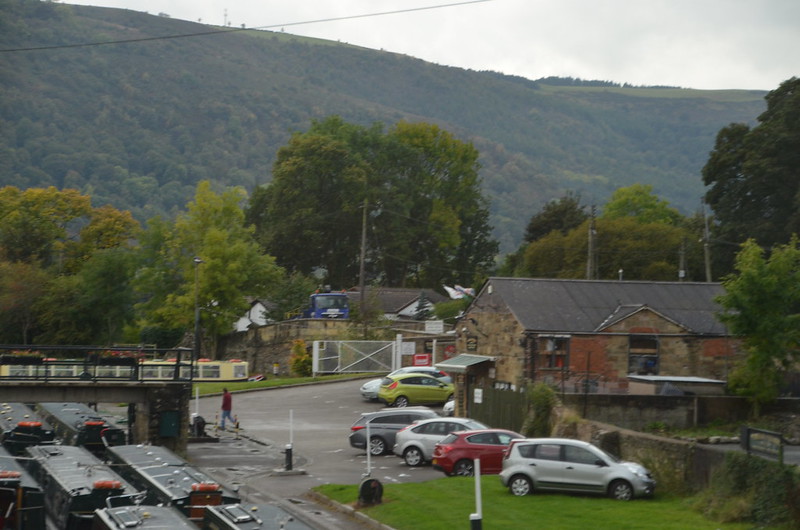
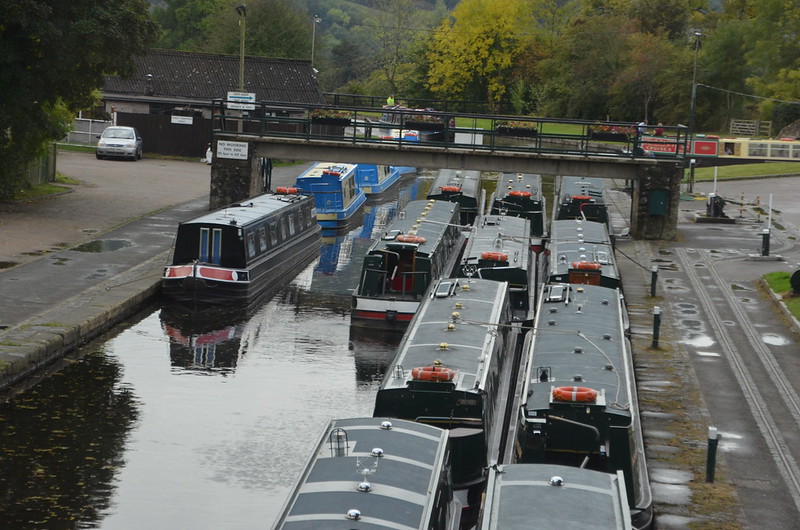
In Wrexham, our coach drive Tommy made a valiant effort trying to cross the bridge from which I took these photos--it's on the New Road and goes over the canal. The bridge turned out to be too narrow and awkwardly angled for us to continue, so he backed off it and parked nearby in a coach park. We didn't have to walk far to experience something wonderful, up close and personal--those photos tomorrow, promise!

DSC_0888

Right out of the camera, not straightened or altered in anyway. Isn't it an enticing sight?

DSC_0889

This one's a bit blurry, but since it has that yellow and green boat beyond and to the right of the footbridge, I just have to show it to you. Where, you may wonder, on what is that boat floating?

DSC_0894

There's the yellow and green boat again, with a red and white sign at the end. The gold lettering says Aqueduct Cruises. Yep, aqueduct. Isn't that something high up in the air that moves water, built centuries ago by Romans? As I looked out the window, listening to tour director Anna telling us facts about it, I got more and more excited.


Found on the Internet: Pontcysyllte Aqueduct - They call it 'the stream in the sky.' Pontcysyllte means 'the bridge that connects.' It consists of a cast iron trough supported 126 ft. above the river on iron arched ribs carried on nineteen hollow masonry piers (pillars). Each span is 53 ft. wide. To keep the aqueduct as light as possible, the slender masonry piers are partly hollow and taper at their summit. The mortar was made of oxen blood, lime and water. Kind of like treacle toffee. The aqueduct holds 1.5 million litres of water and takes two hours to drain. The structure is 1,007 feet long, with the River Dee running beneath it. The work was undertaken by Thomas Telford and supervised by the more experienced canal engineer William Jessop. The first stone was laid in July 1795. It was completed in 1805 using local stone. This is the largest aqueduct in Britain. It's fed by water from the Horseshoe Falls near Llangollen. The water runs through an iron trough that measures 11 feet 10 inches wide and 5 feet 3 inches deep. It is a Scheduled Ancient Monument; a Grade I Listed structure and was granted World Heritage status in June 2009, putting it on an equal footing with the Great Barrier Reef and Statue of Liberty!

The towpath is mounted above the water, with the inner edge carried on cast-iron pllars in the trough. This arrangement allows the water displaced by the passage of a narrow boat to flow easily under the towpath and around the boat, enabling relatively free passage. Pedestrians, and the horses once used for towing, are protected from falling from the aqueduct by railings on the outside edge of the towpath, but the holes in the top flange of the other side of the trough, capable of mounting railings, were never used. The trough sides rise only about 6 inches (15 cm) above the water level, less than the depth of freeboard of an empty narrow boat, so the helmsman of the boat has no visual protection from the impression of being at the edge of an abyss. The trough of the Cosgrove aqueduct has a similar structure, although it rests on trestles rather than iron arches. It is also less impressively high.

Every five years the ends of the aqueduct are closed and a plug in one of the highest spans is opened to drain the canal water into the River Dee below, for inspection and maintenance of the trough.

DSC_0897

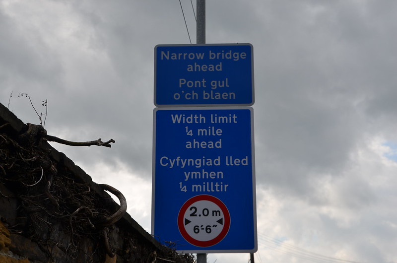
A sign, in English and Welsh, about a bridge beyond where we parked. I wonder if there was a sign about the one that we tried? I didn't find one when I Google-walked around and over the bridge. I did get to see its narrow width and awkward angles. To my non-coach-drive-eye, our coach carrying 52 tour-goers was just too long. I'm so glad that the coach park was as close as it was to the aqueduct. Yea for us! And it didn't rain!