Showing posts with label River Dee. Show all posts

Thursday, December 11, 2014

ESHT 2014 - Back to the coach and out of Llangollen and Wales, towards our next destination, Chester, England

-->

1_DSC_0093_2

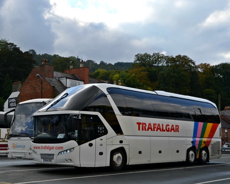
Our Trafalgar coach, right where Tommy parked it in Llangollen. A few minutes after I took this photo, all 52 of us travelers, plus Tommy and Anna, tour director, were underway.
DSC_0097_2

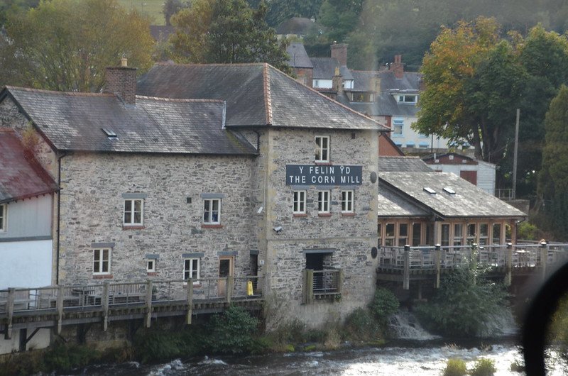
One last photo taken through the coach window of The Corn Mill, across the River Dee. It's a traditional pub restaurant.
3_DSC_113_2

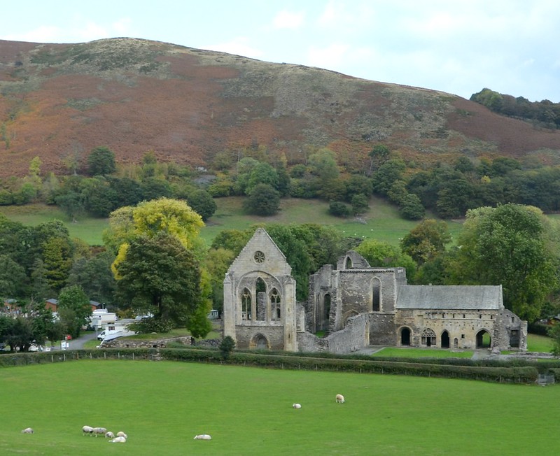
As we rode along the A542, thankfully I took enough photos of this ruin through the coach window so that I managed to get a relatively clear one which I could straighten and share with you. Not that I could remember exactly what it was. However, using my search term skills honed by being a high school librarian back in Mississippi, I Googled ruined abbey between llangollen and wrexham--got it on the first hit! Yea, I've still got the touch.

Valle Crucis Abbey (found at the Llangollen in Denbighshire North Wales' Web site:

The evocative ruins of Valle Crucis lie in green fields beneath Llangollen's steep sided mountains. In medieval times, this was a remote spot (ideal for austere Cistercian monks, who deliberately sought out wild and lonely places).

Their Abbey, founded in the 13th century and added to a century later, has fared better than many of its contemporaries against the ravages of time, history and neglect.

Many original features remain, including the glorious west front complete with an elaborate, richly carved doorway, beautiful rose window and 14th century inscription 'Abbot Adams carried out this work; may he rest in peace. Amen.'

Other well preserved features include the east end of the Abbey (which overlooks the monks' original fishpond) and lovely Chapter House with its striking rib-vaulted roof. But Valle Crucis is not just a lesson in medieval ecclesiastical architecture.

A visit to this fascinating site evokes the lives of the Cistercian monks - successful sheep farmers and enthusiastic supporters of Welsh culture as well as devout men of religion .

Interestingly, Valle Crucis also reveals a gradual relaxation in the strict regime of the Cistercians. By the late 15th century, the abbot decided to build for himself a fine new hall with a heated private apartment.

Valle Crucis, the 'Valley of the Cross', is named after Eliseg's Pillar, a 9th century Christian memorial cross which stands nearby.

1998 marked the 900th anniversary of the founding of the Cistercian Order at Citeaux in Burgundy. The white-robed Cistercians were the most successful of all the medieval religious orders. They arrived in Britain in 1128, searching out remote places in which to practice their austere religion. At Valle Crucis and elsewhere, they left a glorious architectural legacy which serves as a remarkable insight into their way of life.

Access: B5103 from the A5, west of Llangollen, or A542 from Ruthin.

Remember that A542 and Ruthin, for later on, OK?

Monday, December 8, 2014

ESHT 2014 - Sights around Llangollen, No. 2


I putting what I quote from the Web in italics.
DSC_0005

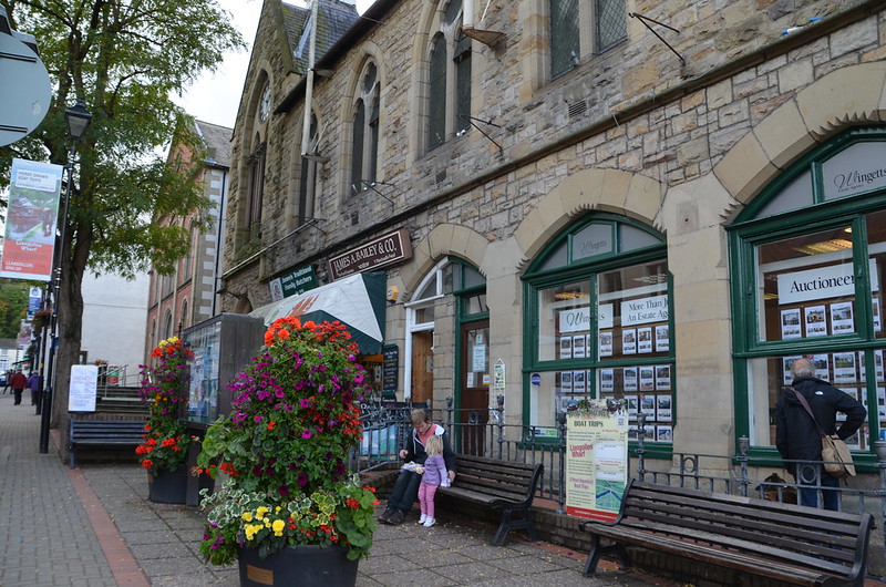
Llangollen is a small town and community in Denbighshire, north-east Wales, situated on the River Dee and on the edge of the Berwyn mountains. It has a population of 3,412. It's difficult for me to pass by flowers and not take a photo. I noticed these outside James A. Bailey & Co. on Castle Street. I lucked out here, capturing as well a cute  little girl with her dad, I'll bet. I wonder if they got the food he has in his lap at Bailey's. I read this online about The Food Emporium: If you're planning a picnic or lunch on the run, drop in here for filled baguettes and paninis, gourmet sausage rolls, homemade pies (try a Welsh Oggie – a meat, potato and onion pasty), Welsh ales and ice cream. I wonder about that building--it looks like a church to me.

DSC_0013_2

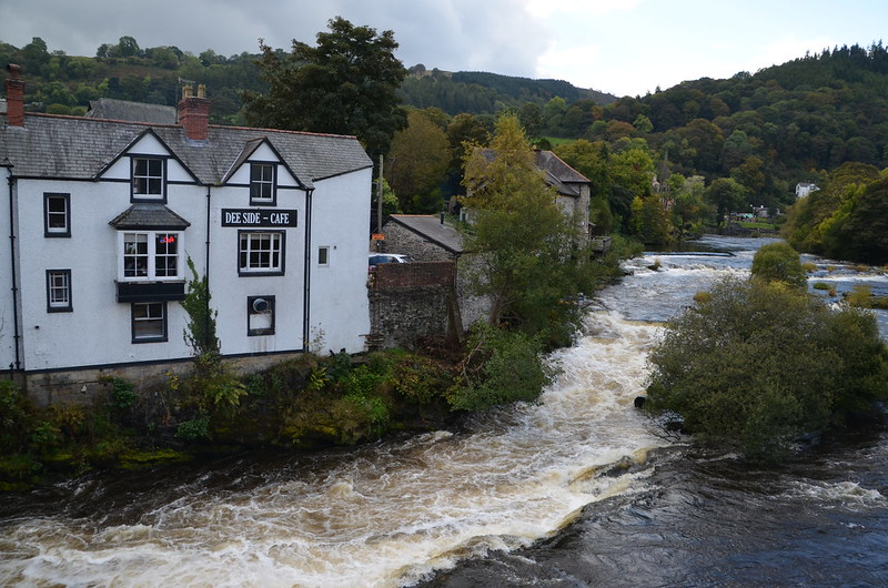
Llangollen takes its name from the Welsh llan meaning "a religious settlement" and Saint Collen, a 6th-century monk who founded a church beside the river. St Collen is said to have arrived in Llangollen by coracle. As there are no other churches in Wales dedicated to St Collen, it is possible that he may have had connections in Colan in Cornwall, and Langolen in Brittany. I read this online about the Dee-Side: The Dee Side Bistro is located on the banks of the River Dee in the beautiful Welsh retreat of Llangollen. You can sit and enjoy our exquisite food or drinks with picturesque views, of the the River Dee and surrounding stunning scenery. Hmmm. I wonder if you can hear the river from inside the cafe. I took this photo from the bridge over the River Dee.

DSC_0017_2

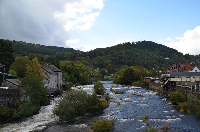
Inside this a great wide shot! Llangollen Bridge: There are references to a bridge at Llangollen as far back as 1284 but the first stone bridge was built by John Trevor, the Bishop of St Asaph in 1345.

Rebuilding took place in 1656, and a stone with this date and the name of the stone mason, Rondle Reade, was found during a later bridge widening. The downstream side of the bridge is unaltered since the 15th century but the bridge has been widened twice on the upstream side.

In 1871 a census recorded 6585 people, 298 horses, 129 waggons, 92 carts and 79 cattle using this 8 foot wide bridge – sufficient evidence of chaos to justify the 1873 widening! In 1863 the symmetry of the arches had been spoilt by the addition of the railway arch and, during this work, pieces of tombstones with Latin inscriptions were found, thought to have come from Valle Crucis Abbey. The widening in 1968 was due to traffic congestion.

Llangollen’s bridge is regarded as one of the ‘Seven Wonders of Wales’: “Pistyll Rhyadr and Wrexham Steeple, Snowdon’s Mountain without its people, Overton yew trees, St Winefride’s Wells, Llangollen Bridge and Gresford bells.”

My main goal after eating lunch was to walk all the way across the bridge and then get back to the coach on time. Oh, and to allow enough time to stop by the Buttered Crust for one last visit to the facilities--we'd gotten approval for that from the folks who worked when we paid our lunch tab. Later on I discovered that the gray buildings on the riverbank beyond those trees were the village's mill. More about that later in today's post. Gosh, I wish we'd had hours to spend in Llangollen!

DSC_0028_2

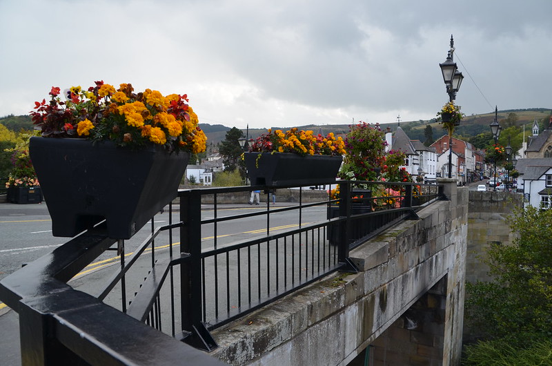
Today Llangollen relies heavily on the tourist industry, but still gains substantial income from farming. Most of the farms in the hills around the town were sheep farms, and weaving was an important cottage industry in the area for centuries. Several factories were later built along the banks of the River Dee, where both wool and cotton were processed. I made it to the other side of the bridge and turned back to take this photo. Love these flowers all along the bridge.

DSC_0030_2

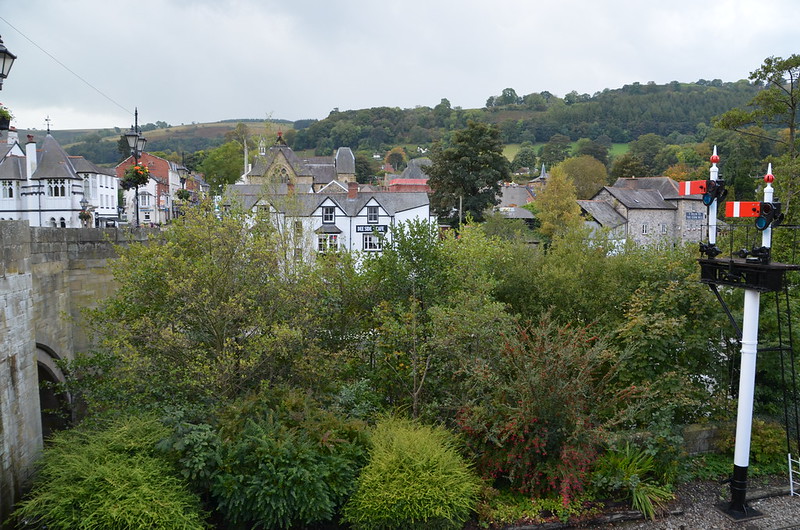
You can see the Dee Side Cafe through the tops of the trees that line the river bank. In between me and the trees are the railroad tracks. Notice the gray stone buildings to the right of the photo? There's a rectangular sign on the rightmost one. It says The Corn Mill. I looked it up online--it's another restaurant.

From The Corn Mill's Web site: The Corn Mill has been grinding flour for at least seven hundred years, and owes its foundation to the Cistercian monks of Valle Crucis. It is first mentioned in a 13th Century document dealing with a fishing dispute between the freemen of Llangollen and the Abbot.

The building as it now stands was re-built in 1786 with three pairs of grinding stones, and continued as a working mill up until 1974. By the time Jerry and Graham came across it, however, it was sadly derelict and in danger of falling into the river. It is owned by a friend of Jerry’s called Phil Brown, and we ended up leasing the mill from him for fifty years. We used a very talented chap called Owain Evans as architect, and appointed Read and Co., a decent local builder with a good reputation. Planning permission took years, because of course it’s an important old building.

The planning authorities, based in Ruthin, thought the conversion to a pub/restaurant was a great idea and wanted it to go ahead. The conservation officer really wanted the building restored to a mill. The local council didn’t want the thing at all, and in addition we had to deal with the Historic Mills people, the River Authority and CADW, (the Welsh building conservation body), each of whom had a different agenda, so at times it was like herding cats.

When we finally re-opened the building in June 2000, lots of people came to see what we had done with it, as there is genuine affection for the Mill locally. There was a lot of excitement when we finally got the water wheel turning again for the first time in twenty-five years.

One visitor, who has since become a regular, had been born in a bedroom upstairs, and found on our walls a framed photograph from the 1950’s of her father with his dog in a coracle on the Mill race. We still have the actual coracle, which we’ve mounted on the wall at the top of the stairs. She insisted that in the ceiling of the ground floor there had been a huge ship’s beam with a 17th century date carved into it, but we’ve never found it.

The place has gone like a train from the very beginning. Mind you, if we’d known how much it was going to cost from the outset, the truth is we probably would never have started.

DSC_0031_2

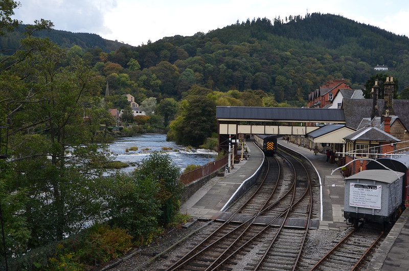
The railroad tracks and the train station. The railway was extended from Ruabon, via Acrefair and Trevor, to reach Llangollen by 1865, operating passenger and goods services. Thie Ruabon to Barmouth Line became part of the Great Western Railway. One hundred years later the line closed under the Beeching Axe of 1964, closing to passengers in early 1965, and to freight in April 1969. The line was lifted in May 1969. However, a 10-mile stretch of the line has been restored between Llangollen and Corwen and operates as the Llangollen Railway, a tourist attraction. In 2002, the Rainhill locomotive trials were re-staged on the line. I also read this online: 1n 1953 The Queen and Prince Philip arrived in Llangollen by train as part of a tour of Wales. There are still people in Llangollen who remember travelling from Llangollen to London without changing! The line and station closed in 1965 and for years it was left in a terrible state, falling to ruins and full of weeds. The station and the line as far as Carrog, to the west were re-opened by volunteers in the 1970s and continues to operate as a major tourist attraction. 

DSC_0034_2

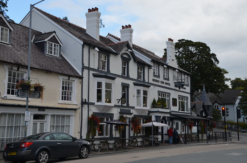
Looking at my watch, I realized I needed to start back, so I walked along the street to the end of the bridge. Then I decided to take a photo of this appropriately named hotel. I found this on the Llangollen Museum's Web site: The early history of the Bridge End Hotel is difficult to determine exactly. Early 18th century paintings of Llangollen appear to show no buildings at the northern end of the bridge. A map from 1791 does show a building but this may be the Bishop Trefor next door.

The Bridge End Hotel first appears in records in the 1840s, both in Pigot’s business directory and on the tithe map. At this time the inn was owned by John Jones of Rhysgog and run by Robert Wright. He was succeeded by Richard and Mary Parry who were in turn followed by Eliza Whittaker in the 1880s, paying an annual rent of £37 to Martha Baker. At this time both sides of the inn were two storey buildings, with the upstairs on the right hand side reached by an external stairway.

At the end of the 19th century, however, the left hand part of the inn was raised to three stories and a new chimney installed in front wall of the right hand side. In 1927 the right hand half of the inn was also raised, the chimney first being taken down and rebuilt onto the new taller building. Eliza Whittaker was followed by Piercy J. Pace and A.W. Crowhill before S.R. Johnson moved from the Royal Hotel to manage the inn in the 1930s.

Wednesday, December 3, 2014

ESHT 2014 - What I saw on my walk across the aqueduct and back to the coach


DSC_0951

To my right: These trees seem to be right at the beginning of changing their colors. Would love to be there when they're at their fall foliage peak.

DSC_0950

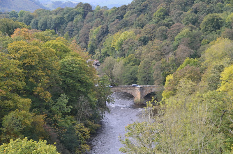
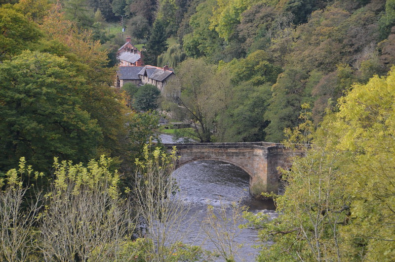
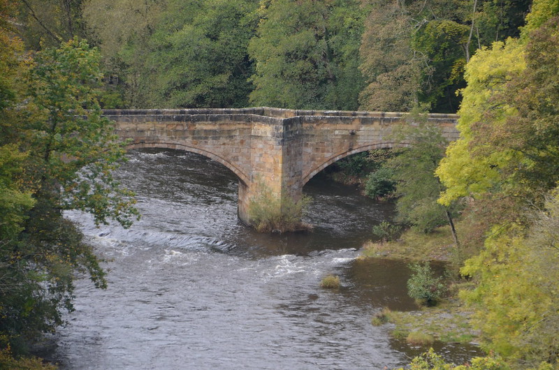
To my right: A closeup of the bridge over the River Dee. On Google Maps, I think I've found the correct bridge--it's on the Gate Road. I'm going Google Map walking!

DSC_0957

To my right: An even closer look at the bridge. I wonder how old it is? And why do the supports make that diamond-shaped space available? In one of my Google Walk shots, I noticed a pedestrian/walker standing in this very space, looking at the river. Perhaps whenever this bridge was built, the designer wanted to provide a spot for people to stop and take in the beauty of the River Dee and its surroundings. At each end of the bridge there's a round white sign with a red border that reads >6'6"< which I take to mean the width of the bridge. Right below it on the same pole is another sign that says "Except buses and coaches," in English and Welsh. Does that mean no bus, no coach? I'll bet the coach we were on was wider than that!

DSC_0947

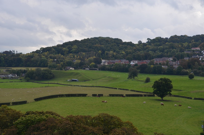
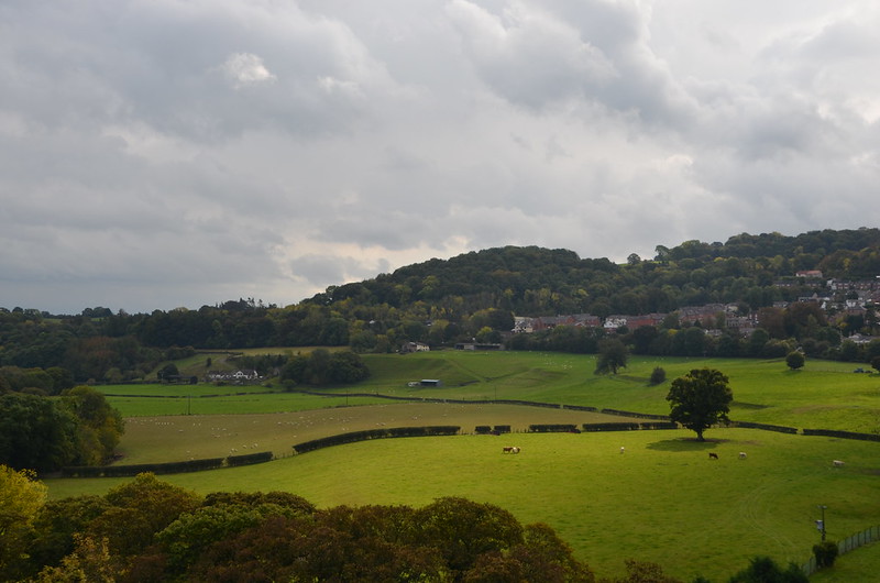
To my left: With all of those clouds, the random appearance of the sun proved fleeting. The haze impacted the view, too.

DSC_0963

To my left: See what I mean?

DSC_0974

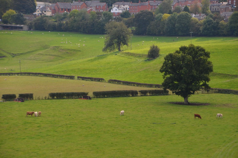
To my left: I like this one best--sweet shadow beneath the tree in the corner of that field.

DSC_0977

To my left: A close up a few seconds later and you can see how the shadow beneath the tree has already changed.

DSC_0968

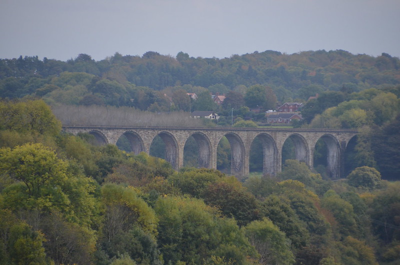
To my left: Here's the River Dee, and in the distance, the Cefn Mawr Viaduct. To find it, look above the last of the visible water, then above all of those trees. See the row of arches?

DSC_0965

To my left: Here's a close up for you, taken through the haze, shown straight out of the camera. I read this on the Internet: The Cefn Mawr sandstone Viaduct, built by Thomas Brassey, railway contractor, in 1848 to carry the Shrewsbury and Chester railway across the valley of the River Dee.

I also read this on the Internet: The Chester and Shrewsbury railway runs at the eastern end of the Vale of Llangollen, beyond the parish boundary, passing through Cefn Mawr on route from Chester to Shrewsbury. It is carried over the River Dee by a stupendous viaduct, half a mile down stream from the Pontcysyllte Aqueduct. It measures one thousand five hundred and eight feet in length, and stands one hundred and forty-seven feet above the level of the river. The structure is supported by nineteen arches with sixty foot spans. Construction on the viaduct began started in 1846 and was completed in 1848. Civil engineer and railroad pioneer Henry Robertson completed plans for crossing the River Dee at Cefn Mawr.

What was instrumental to the ability to complete the construction of both the Cefn Viaduct and the Chirk Viaduct in only two years was the Shropshire Union Canal or what is now called the Llangollen Canal for the shipment of sandstone form the quarries of Cefn Mawr on the north side of the River Dee valley across the Pontcysyllte Aqueduct to the south side and onwards to the Ceiriog Valley.

So cool! We really touched history on our aqueduct adventure!

DSC_0978

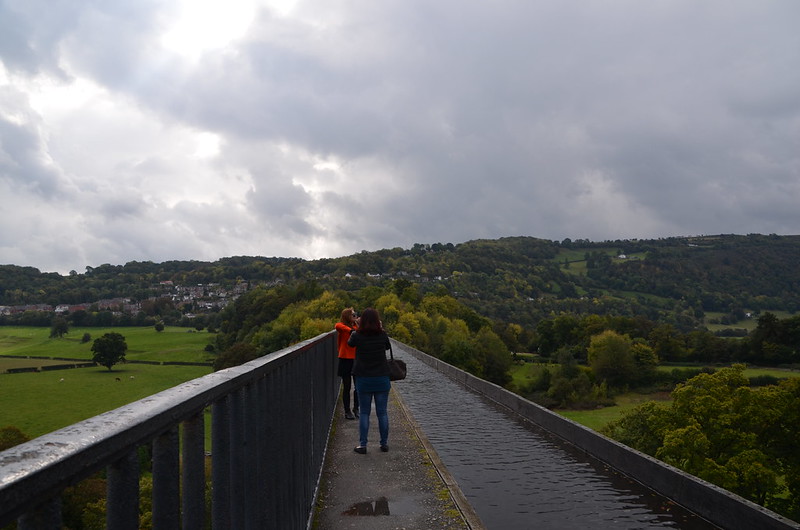
Here's a view of the Poncysyllte Aqueduct that shows you the landscape on both sides at once. The overcast increased, and I soon turned around and started walking back to the coach.

DSC_0979

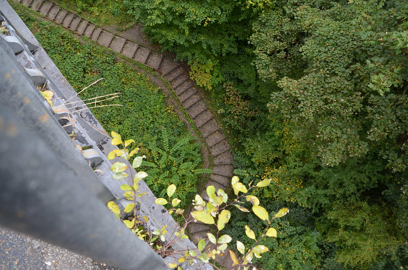
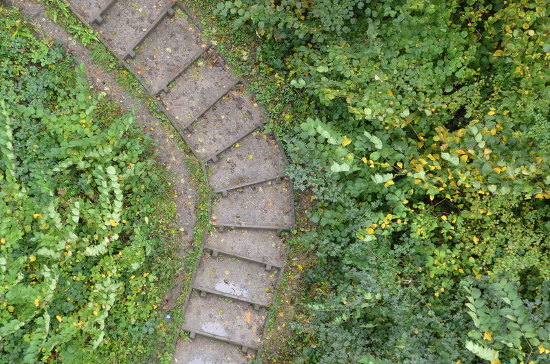
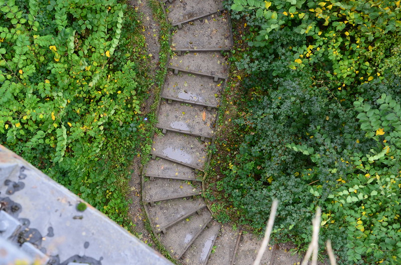
As I neared the entrance to the aqueduct, I stopped for a moment and then looked down. Imagine my surprise when I saw this path made of steps. I like the curves of it in juxtaposition with the rectangles made by the steps.

DSC_0980

Close up--really cool.

DSC_0981

One more close up. I couldn't stop looking, and considering my fear of heights, I feel blessed to have been able to see this path.

DSC_0982

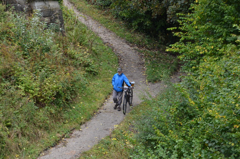
I glanced up the slope and saw this man with his bicycle. So neat!

DSC_0988

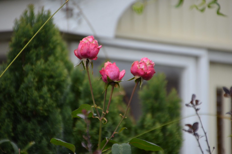
Pretty roses in bloom in early October.

DSC_0989

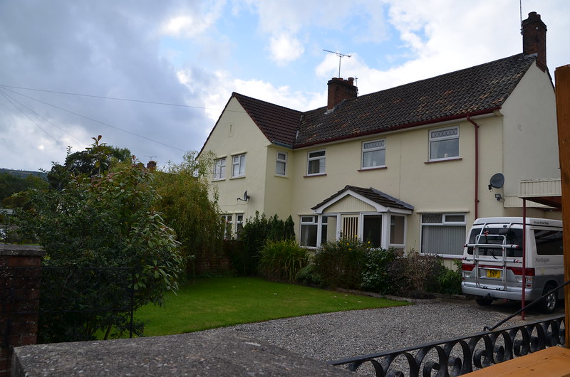
To me, this house looks much larger than others nearby.

DSC_0987

One last look at the autumn roses. Next post--I start my photos of Llangollen!