Showing posts with label Columbia River Gorge. Show all posts

Monday, July 25, 2016

Twenty-one days ago, I met a goal! Part One: The Back Story along with some beautiful flowers


In early June, I wrote this on a calendar as a goal-setting part of the On the Move process then going on at work, bound to get those of us who would participate into better shape: Sometime after June 24, walk Larch Mountain trail to viewpoint with Lamont and Leland. After June 24 because that would be the end of On the Move as an organized process, and we were asked to set a long term goal. Little did I know that not only would my two sons accompany me, but also two dear friends visiting from California, Danielle and Meehan. There's a back story to why I picked Larch Mountain and the viewpoint and reaching them as my goal.
DSC_0027

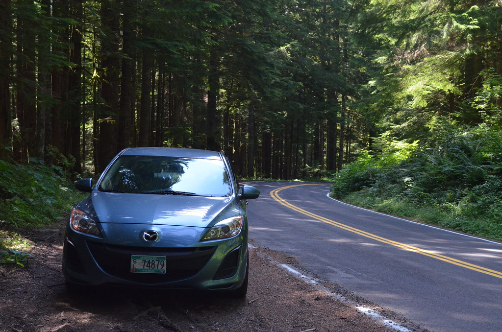
I had a vacation day and a Zipcar July 30, 2012, and planned to drive into the Columbia River Gorge to enjoy myself. As I drove through Troutdale on my way to the Historic Columbia River Highway, I decided to take the road to Larch Mountain to see if I could walk from the parking lot to Sherrard Point, the viewpoint at the end of that short trail. I had seen photos of the hand rail and chain link fence surrounding the area, so I felt safe as relates to my fear of heights. I jumped to the conclusion that seeing those photos meant that the trail also had a railing along it. Nope.

I posted about my efforts on September 13, 2012: Life's path, filled with ups, downs, and curves into the unknown
DSC_0047

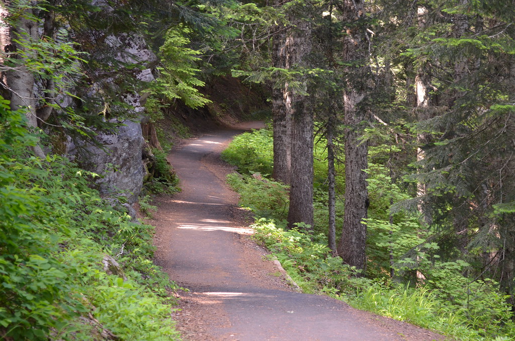
According to the Exif info about this photo at my Flickr account, I took it on July 30, 2012, at 3:32 p.m. PDT. Those are facts. Later on I realized it's a fact that the image is a fine metaphor for life. Life is not always a smooth direct path with its end always in sight. And along the way, one must stop and assimilate what has gone before, one must seek the best help and knowledge about how to continue, one must strive no matter the circumstances, and one must never, ever give up. And now and then, one must seek help from those in your life who love you because of who you are.

I stood here, took this photo, and thought about what I was doing on a the narrow path, paved, thankfully, but still situated on the steep side of Larch Mountain, very near the top of the 4,055 foot peak. I knew not where the bottom of those trees on the right actually touched Earth because, in my ever-present fear of heights, I could not get myself to look that direction except in a speedy straight-out glance, much less follow with my eyes a tree trunk downward, out of sight. To do so meant I just might lose control of myself for an all-important instant and go right on over the edge. The fear of heights is nothing if not irrational. My choices, turn around and walk the short distance back to the parking lot or continue down that slight slope and go around that gentle curve that went somewhere I couldn't yet see and continue on towards Sherrard Point at the top of Larch Mountain in the Columbia River Gorge. I took slow, deep breaths, softly talked to myself out loud--after all, I stood there alone so no one would overhear me dealing with my fear--and stepped forward. I didn't know what would happen next, but I had faith in myself to deal with it successfully. Faith based on my ability to face whatever life brought my way. I'd made it this far, hadn't I? Not without help over the years, of course. I could hear everyone who had ever loved me telling me, "You can do this." I kept walking.
DSC_0065

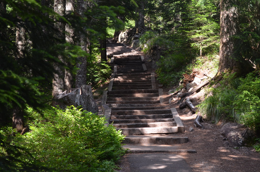
I never followed up on that post with what happened next--I don't remember why. I do remember that when I had walked farther than photographed in this photo that I could see steps made from what looked like railroad ties going I knew not where, nor did I know how many of them existed, but I did know that there were no hand rails alongside the steps.
DSC_0061

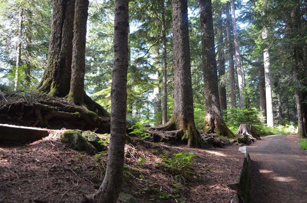
I sat down to get my breath on a low retaining wall made of the same ties--you can just see it on the left side of the photo--and tried to convince myself to go on, without success. I then convinced myself that I could make it back to the car in the parking lot without all of a sudden losing control of my body and going of the edge of the hand-rail-less path.
DSC_0067

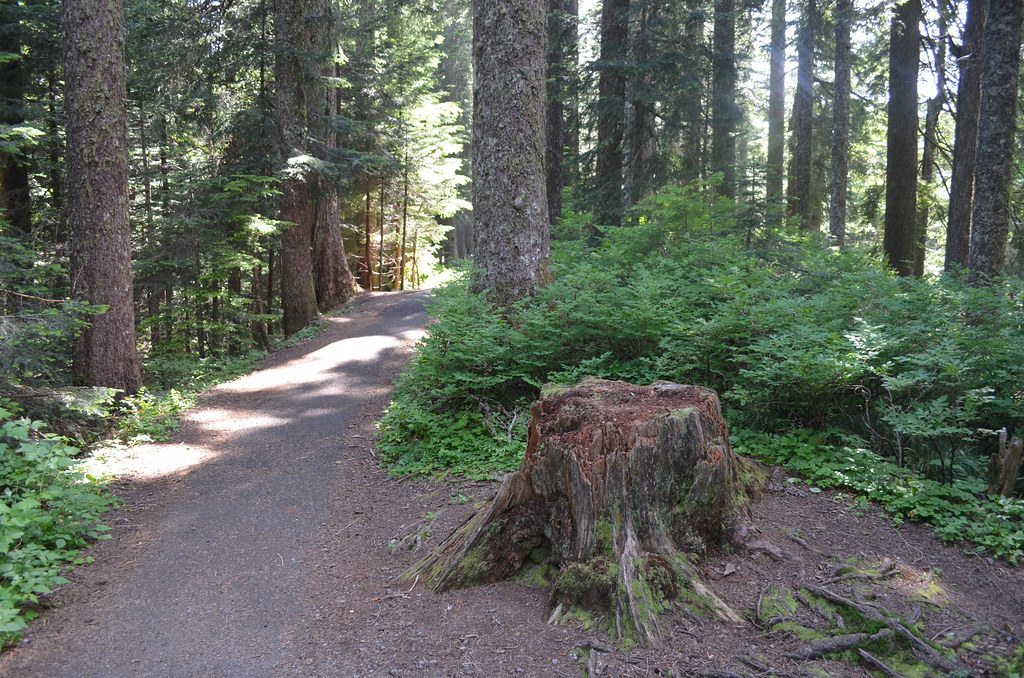
I took this photo on the way back to the car--remember this rotting tree trunk. The photo's deceptive in that it looks like I'm on an innocent, nearly level path in beautiful woods. All those trees to the left of the path have their roots way down below the level of this path. I have no estimate of how many feet below because I never looked over the edge. I concentrated in walking on the right side of the path.

I visited Vista House, Multnomah Falls and Horsetail Falls in the Gorge, then drove on home, mixed feelings running through my body. It had been a fine drive on the road to Larch Mountain, lots of beautiful trees and flowers sprinkled beside the road. I got out of that Zipcar intent on doing something I'd never even gotten close to doing before. When I had realized that there was no railing along the path, I didn't turn around and go immediately back to the car. I kept walking. So, the mixed feelings brought about by partial success stayed with me for miles and miles and through enjoying those waterfalls. Finally, I believe they steeled me to making an effort again, but next time I would make certain that my two sons went with me, walked alongside me if necessary, so that I could make it to Sherrard Point. Impressed, and surprised, by my solitary effort, they agreed to do just that. More on that in the next post.

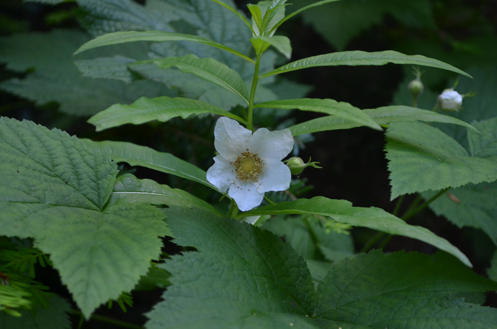
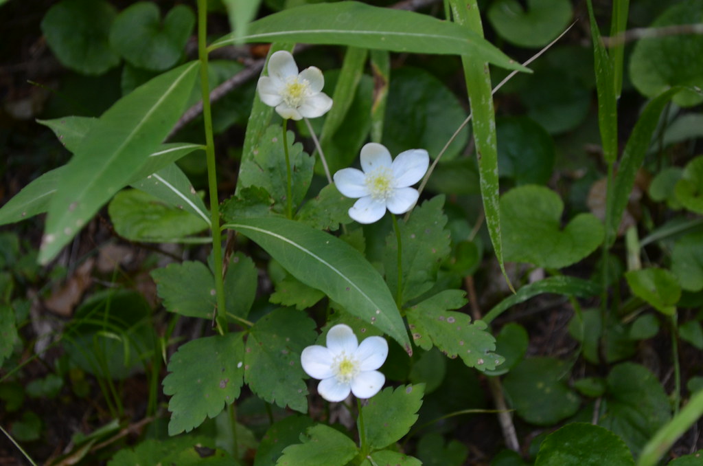
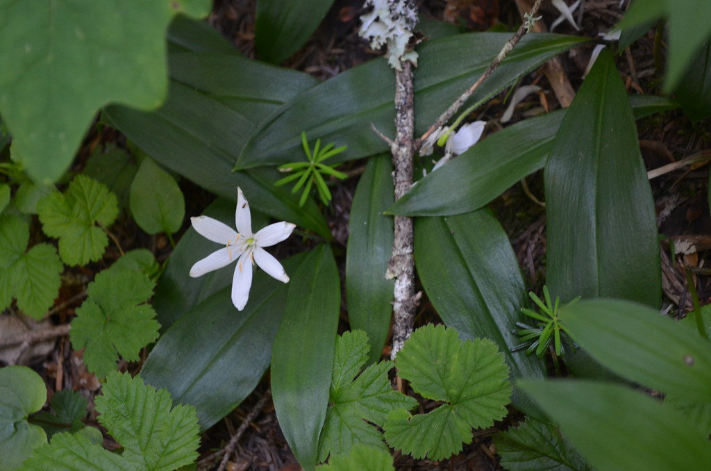
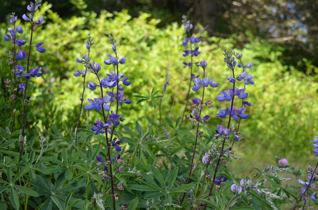
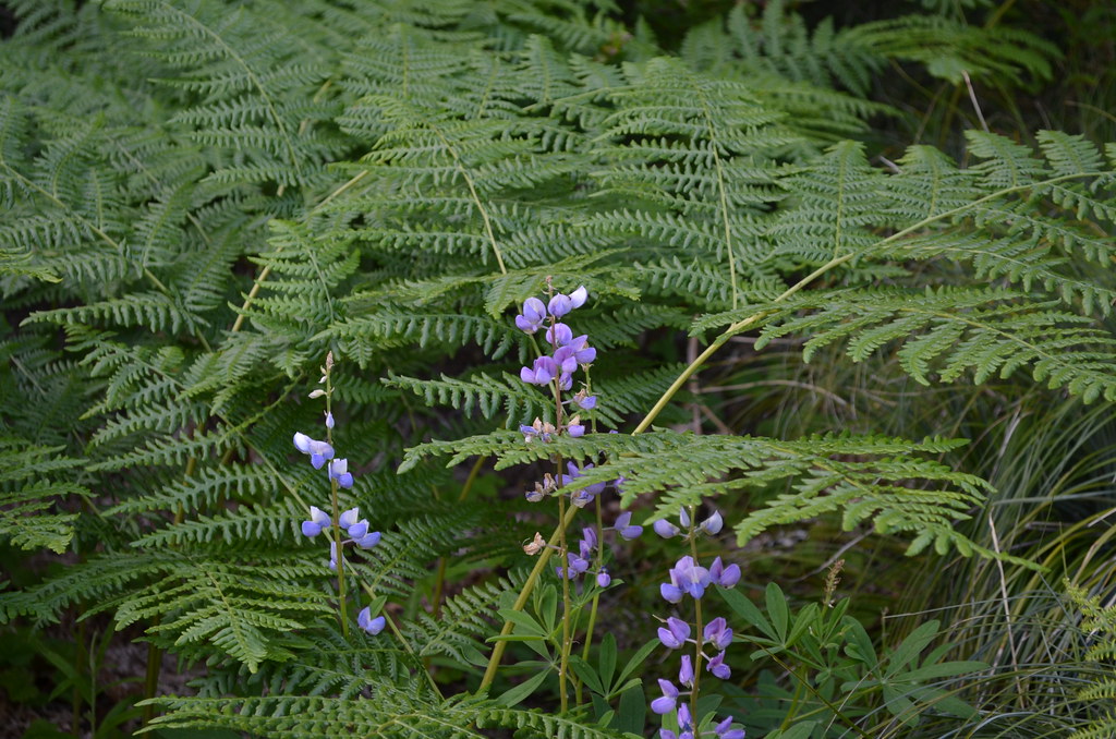
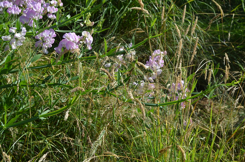
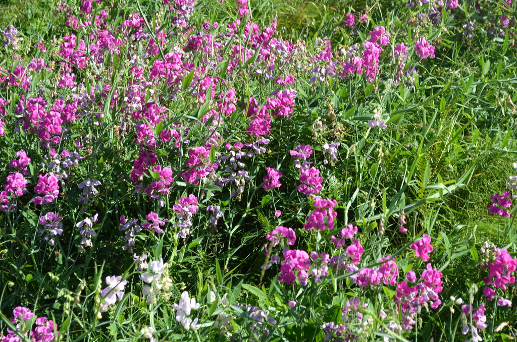
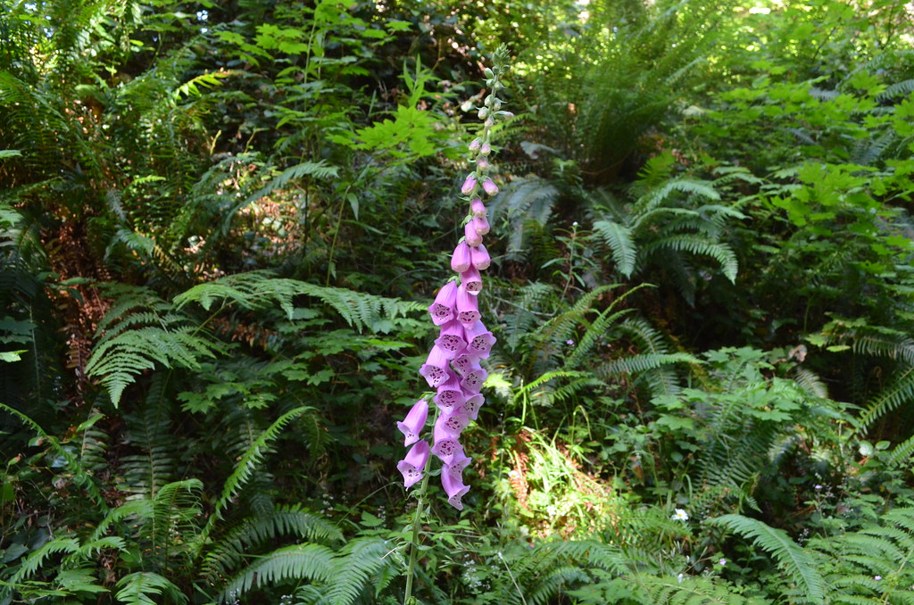
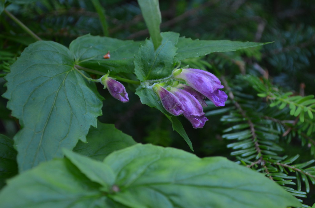
Extra treat for you, photos of various flowers I found, either along the rode to Larch Mountain's parking lot or on the path from it to Sherrard Point.
DSC_0028

DSC_0044

DSC_0045

DSC_0072

DSC_0074

DSC_0077

DSC_0078

DSC_0086

DSC_0087

Thursday, July 21, 2011

Seen from the train pulled by the steam engine SP 4449

D50 photos:

DSC_0036p
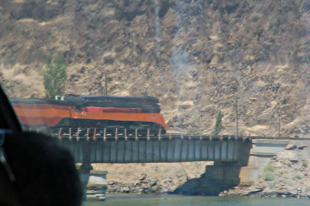
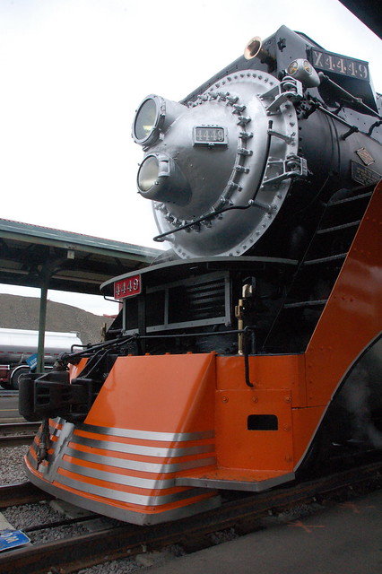
That big, beautiful steam engine SP 4449, seen from my dome car seat on July 3 as it pulls us back westward. Scroll down to read all about our "making a Y."

DSC_0569
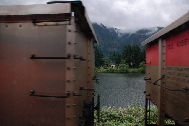
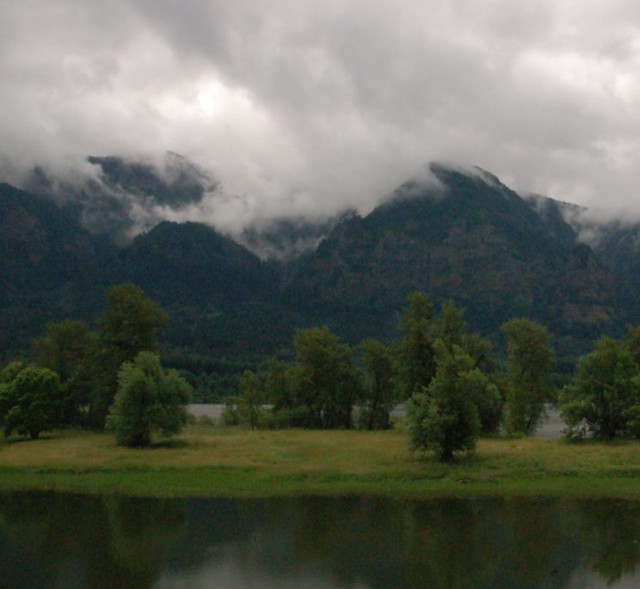
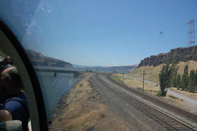
A quick glimpse between two hurtling cars on the adjacent track, out in the Columbia River Gorge on July 3. I took these photos from the open baggage car doorway.

DSC_0571p
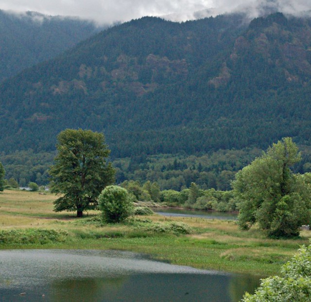
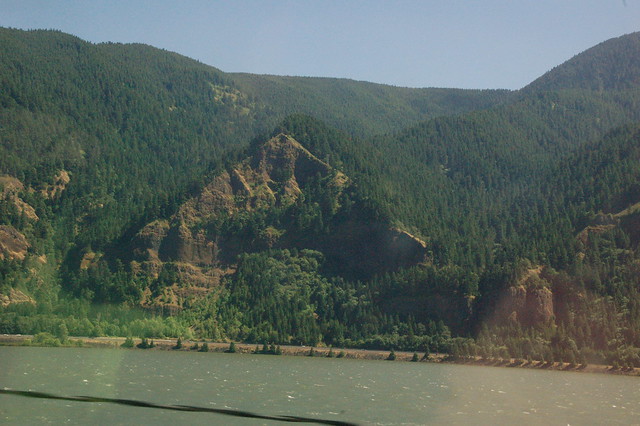
The foreground is in Washington. The tree-covered mountains are in Oregon.

DSC_0572p-p
Another beautiful spot.

DSC_0580p
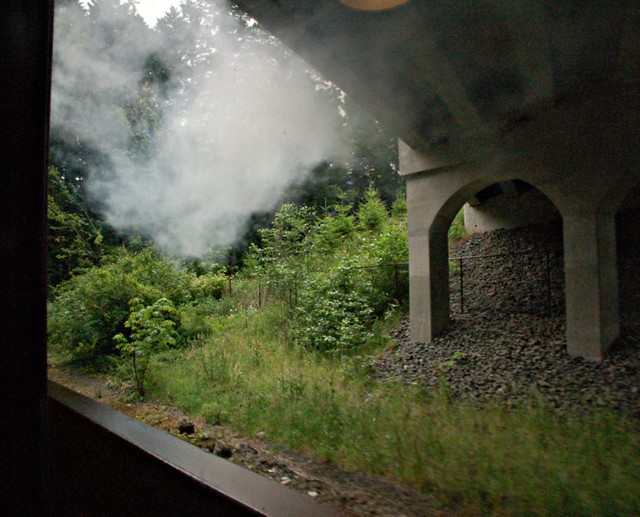
Smoke from the engine waited beneath the overpass, just for me to catch it in this photograph.


DSC_0597p
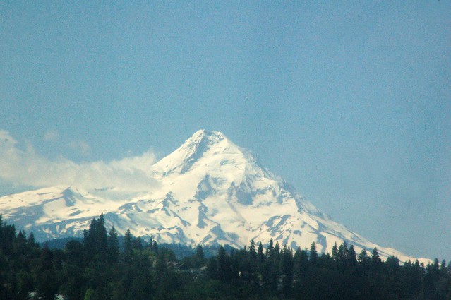
Mt. Hood, still lots of snow there. I took these photos from inside the dome car.

DSC_0608
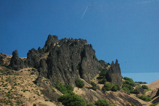
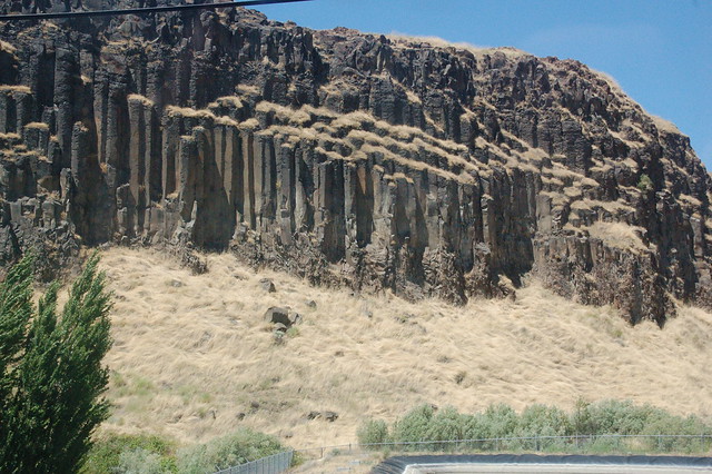
I think the train was pretty close to Wishram, Washington, when I took this one. Interesting shapes, so sharp looking.

DSC_0004
This is after lunch, as the train backed westward until it was able to back south onto a bridge, the pull forward and go forward, westward towards Vancouver, Washington, and then on to Union Station at Portland.

DSC_0006
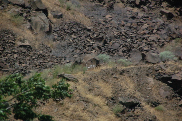
Doggone taggers!

DSC_0007
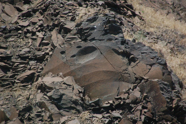
What sort of rock is this? How did those smooth, curved indentations get there? All of the sharp pieces? Mysterious.

DSC_0014p
There's the southernmost section of the bridge with a barge passing underneath.

DSC_0019
Here you see the tracks that go east and west. We're back south, out over the Columbia River. There is the distance is the part of the bridge that we will use to make our way back westward. My friend Milton, who is now retired from the CN Railroad, told me after I described our maneuver, "You made a Y, Lynette."

DSC_0026p
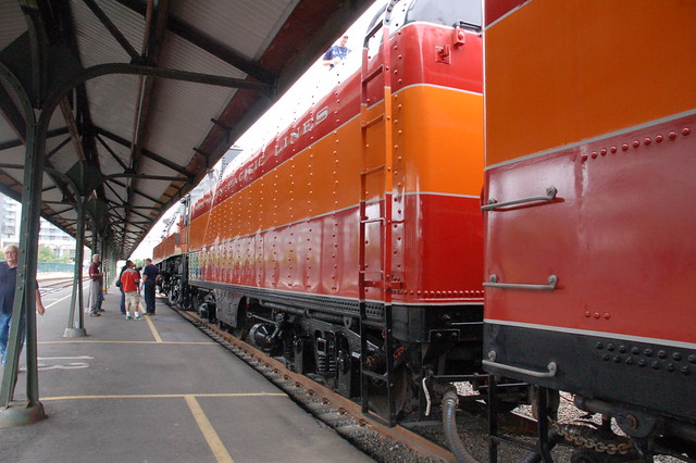
See the orange and red rail car with the doors? There are slats across the openings--that's the baggage car where I stood part of the ride out to Wishram. To rest of the orange and red is the SP 4449 itself, working at a gentle pace to back us onto the bridge. It's actually facing east and moving west. I am so glad that we were on the train for this part of the excursion. Saturday's outing had the passengers waiting at the Wishram station for this to take place.

DSC_0034
Our path home begins here.

DSC_0038
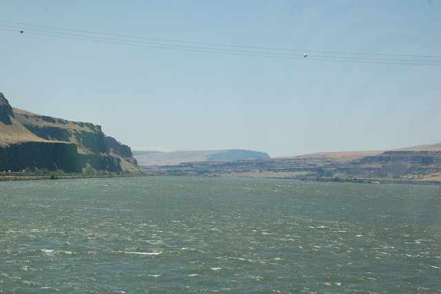
The Columbia River, seen as we backed on the bridge.

DSC_0041
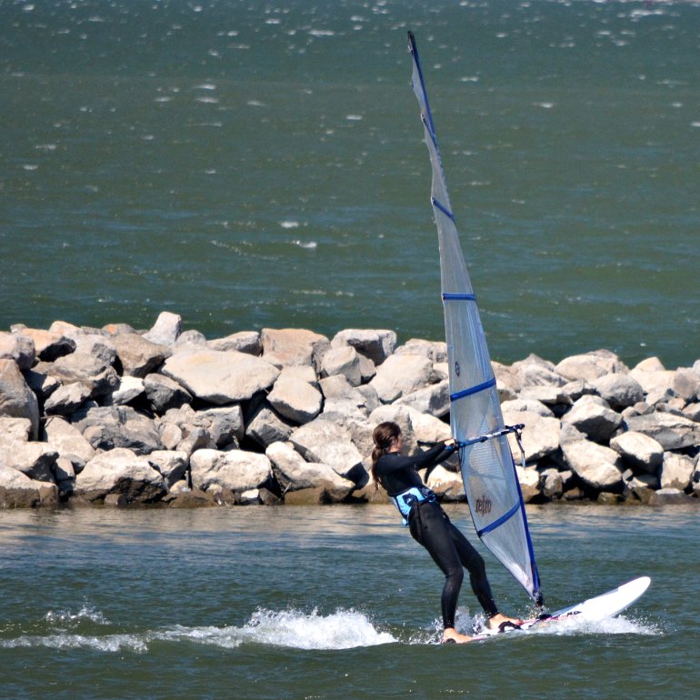
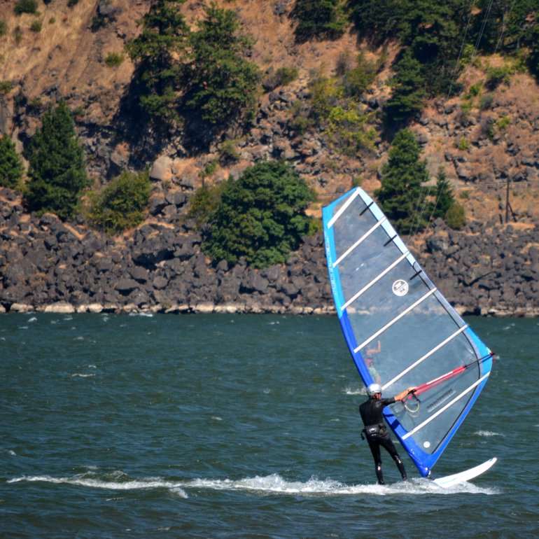
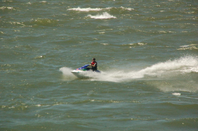
One of the things folks like to do out in the Columbia River Gorge.

DSC_0056
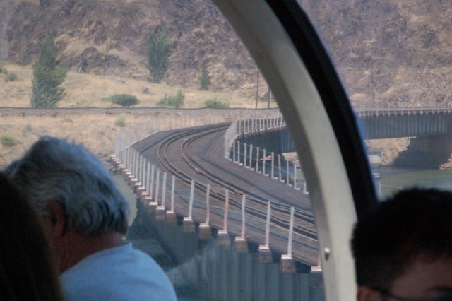
There you see the track that the train used to back onto the bridge.

DSC_0058
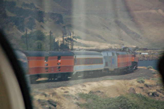
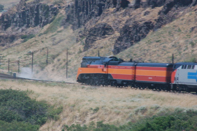
Here's the SP 4449 pulling us towards Portland. I think the two orange and red cars behind the engine are the tenders. I'm not sure why there's that smoky look in front of the engine. It was very dry and windy out there--perhaps it is dust.

DSC_0064
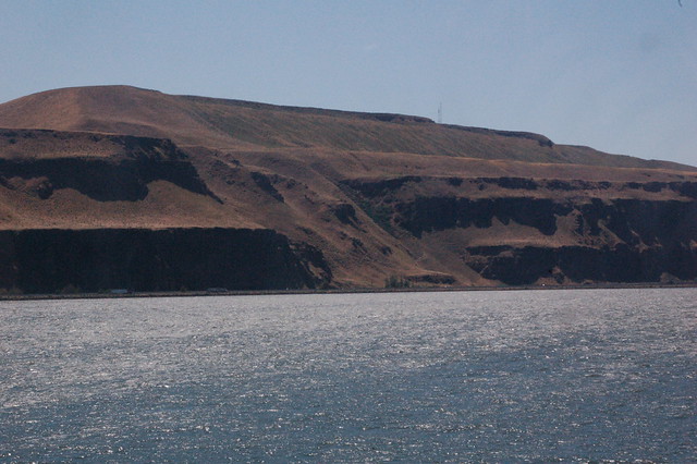
How many years ago did that landslide happen? Interstate 84 is at the bottom alongside the river.

DSC_0069
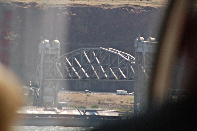
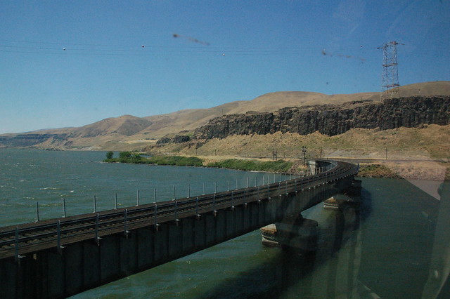
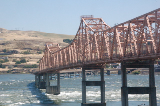
This bridge is at The Dalles, Oregon.

DSC_0097
How did this shape happen, this roof-like shape? Surely it's not man-made. Does anyone know anything about it? Please comment if you do, or if you've seen something like it elsewhere. Thanks!

DSC_0107
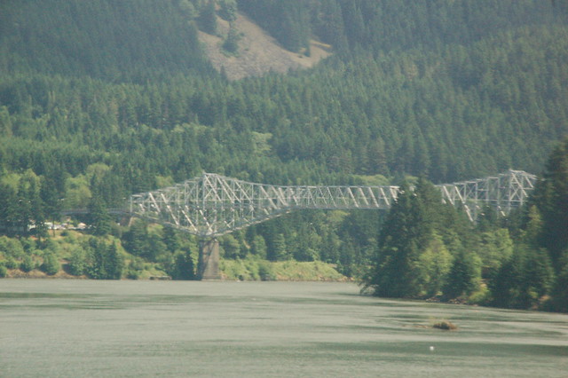
The Bridge of the Gods at Cascade Locks, Oregon. Last August I actually drove a Zipcar over it!

Friday, July 8, 2011

Ready for fun last Sunday! The ride on the train pulled by the steam engine!

DSC_0508p
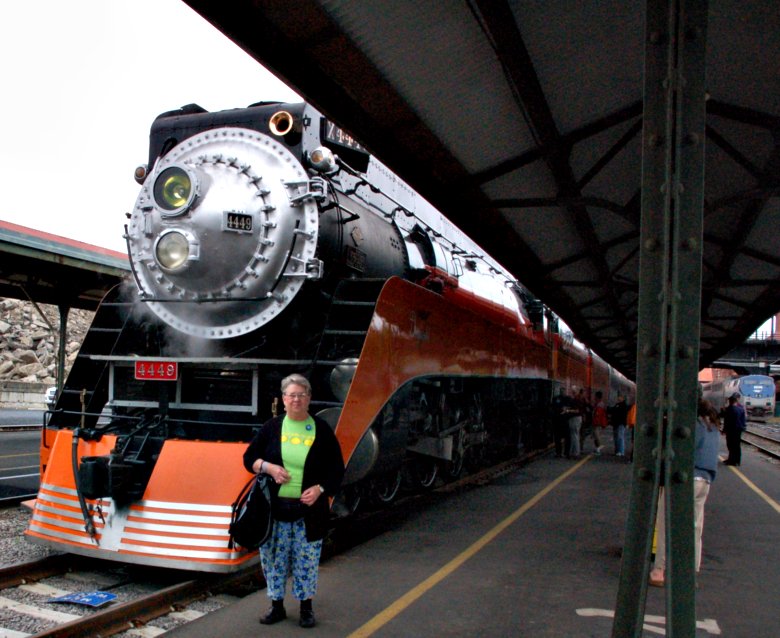
Here I stand, Deuter backpack over my arm, in front of the SP 4449, one gigantic steam engine. A few minutes later I boarded dome car G and found my seat for the ride from Portland's Union Station to Wishram, Washington, out east in the Columbia River Gorge. Despite having an allergy-riddled Saturday, I managed to thoroughly enjoy the entire day-long event. The reason I'm actually in a photo on my blog is that a nice stranger offered to take a photo for me! I'm frantically pulling at my sweater, trying to look neat, and he's clicking away. He did a great job!
Here's some great information from the Friends of SP 4449's Web site:
SP 4449 was built in 1941 as a GS-4 "Northern" type locomotive. A 4-8-4 wheel arrangement, she is 110' long, 10' wide and 16' tall. The locomotive and tender weighs 433 tons, and it operates with a boiler pressure of 300 psi. Her eight 80" diameter drivers and unique booster truck can apply 5,500 horsepower to the rails and exceed 100 mph. The only remaining operable "streamlined" steam locomotive of the Art Deco era, this grand Lady of the High Iron pulled Southern Pacific "Daylight" coaches from Los Angeles to San Francisco over the scenic Coast Route and then on to Portland until 1955. Retired to static display at Oaks Park in 1958, most thought SP 4449 would never run again.

In 1974, she was selected to pull the American Freedom Train throughout the United States, and was subsequently rebuilt. SP 4449 ran for three years to the delight of over 30 million people. She is arguably one of the most beautiful locomotives ever built -- and kept that way by the all-volunteer Friends of SP 4449!
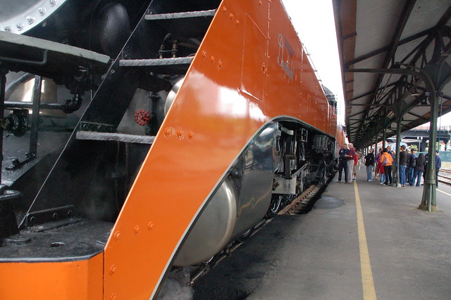
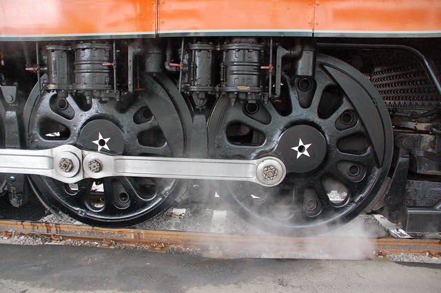
Here are a few more photos of the SP 4449 and some of the cars that I took before we pulled out of Union Station.

DSC_0512

DSC_0510

DSC_0511

DSC_0523

DSC_0496
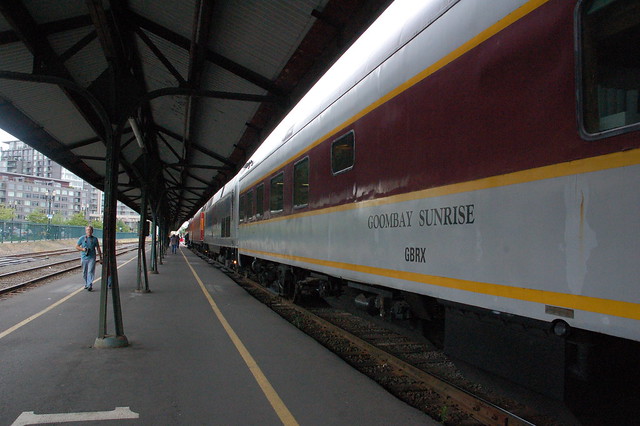
I walked through this car on the way to the baggage car as the train headed east. I wanted to take photos from the open doors and/or look at and/or buy souvenirs. I had a great time in that baggage car, let me tell you! I found online that the Goombay Sunrise is a diner/sleeper car.

DSC_0497

DSC_0495
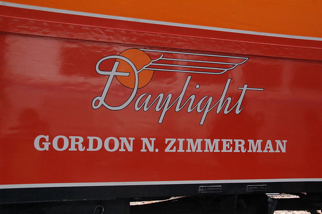
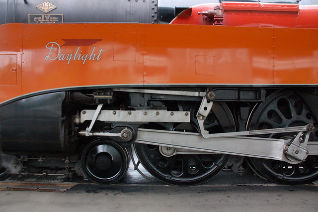
The name of the baggage car and the Daylight logo. I read online that the red and orange paint job is on the Southern Pacific 4449 so that it matched the passenger train also known as the Daylight which it pulled for most of its career.

I wish you could have heard the engine like I could when I stood at the open door in the baggage car! What a sound it made as it steamed along at a fast clip. And then there's the whistle, one of the greatest sounds around, ever!

Wednesday, October 14, 2009

Vista House from Chanticleer Point, in the Columbia River Gorge

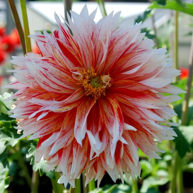
Please scroll down to see today's dahlia, TG-12, from the Canby Dahlia Trial Test Garden, sponsored by The Portland Dahlia Society and The American Dahlia Society, in co-operation with Swan Island Dahlias, maintained in honor of Nick Gitts, Sr. Dahlias on trial--not for sale.

The last full week of September Lamont's friend John came to Portland from Lafayette, Louisiana, for vacation. On Saturday and Sunday, Sept. 19 and 20, Mama and I drove him here and there in both Portland and the Columbia River Gorge.

Y'all won't believe it, but I decided I could drive up to Vista House from the east and then down along the Historic Columbia River Scenic Highway, from Latourell Falls to Wahkeena Falls to Multnomah Falls to Oneonta Gorge and the Oneonta Tunnel to Horsetail Falls. I convinced myself that if I went up there from that direction, I would be on very few scary, high, curving roads--that's the way Lamont took Mama, Lucy and me last November. And I figured that I could drive all the way down even with the curving, high, scary roads because 95% of the time, I'd be hugging the earth. By that I mean I would have the other lane to my left which meant the thin air was at least that far away from me. Out the passenger window all I could see was earth, trees, ferns, the woods.

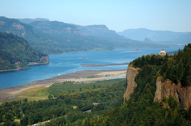
Our first stop, Chanticleer Point (now known as the Portland Women's Forum Scenic Viewpoint), provided the opportunity to get this vista and its photograph. You can see the actual Vista House there in the distance, on the right atop Crown Point, 733 feet above the Columbia River.
DSC_0018_vista_house_fr_chanticleer

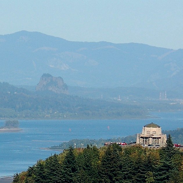
This is a closely cropped shot of Vista House. In the blurry background you might be able to see bits of the Bonneville Dam. I'm not sure about the name of that rock sticking up. I need to do more research. I did discover that Chanticleer Point stands at 705 feet. That's why I said drive up at the first of this post.
DSC_0017_vista_house_cropped

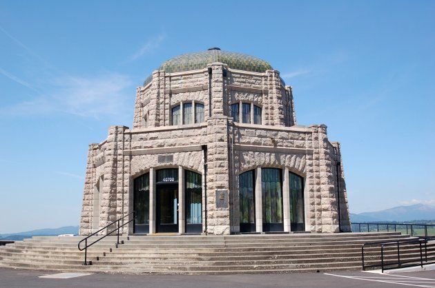
Here's a shot of Vista House that I took in May, 2007, when our friend Milton and Kay were here visiting from Mississippi. I didn't take one like this last month--some sort of work was going on which meant plywood here and there.
DSC_0086_Vista_House
As we made our way down into the Gorge, Mama kept saying from the back seat, "You don't look scared from back here. You're doing just fine." And I later found out that John told Lamont he thought we just might drive off the road to the right a couple of times--I knew I got close to the edge, but I couldn't help myself. I did make it, though. Hooray for me!

Look beneath the dahlia for more information about Crown Point and Vista House.

Dahlia TG-12.
DSC_0184_tg12

From the Oregon State Parks Web site: Millions of visitors driving from Portland through the Columbia River Gorge don't realize the full impact of its beauty until they come around the bend near Corbett at exit 22 and see the famous building on the top of the cliff to the right. This is Crown Point and the building is the Vista House.

Just as the Statue of Liberty is a symbol of freedom, the Vista House serves as the symbol of the Columbia River Gorge. In fact, the architect of the Vista House -- Edgar Lazarus -- and Emma Lazarus (who wrote the poem of the Statue of Liberty), were brother and sister.

The Vista House was built in 1916 at the same time as Highway 30 (what is now the Historic Columbia River Gorge Highway, and the only way to reach Crown Point). The building was designed to be a place of refreshment and enjoyment of the Columbia Gorge. The popular clifftop viewpoint recently underwent a $3.2 million restoration to repair and rejuvenate the building's key historic features.

The octagonal building with its copper dome houses a museum, gift shop and interpretive display of historic and geologic points of interest in the Gorge.

Vista House is open daily from 10 a.m. - 4 p.m. beginning March 14. Beginning April 19, visitor hours are extended to 9 a.m.-6 p.m. The building remains open daily through Oct. 31.