First, I have to share this exciting comment which appeared on Wednesday's post: This is part of the Streetcar Eastside Loop project. The circles (here and at the Morrison Bridge ramps) are being rebuilt to serve as stormwater treatment facilities for street runoff. In addition, at Hawthorne/Madison, and at Belmont/Morrison, there will be a sidewalk added on the west side of Grand Avenue, to make access to and between streetcar stops and bus stops easier. This includes restricting some of the free-flowing on- and off-ramps onto Grand Ave. New signals are also being added so walkers can cross M.L.King Blvd. easier. The one at Morrison is now working. Find out more at an open house Dec. 1 at the Arch. Heritage Center, 701 SE Grand from 5:00 to 7:30.
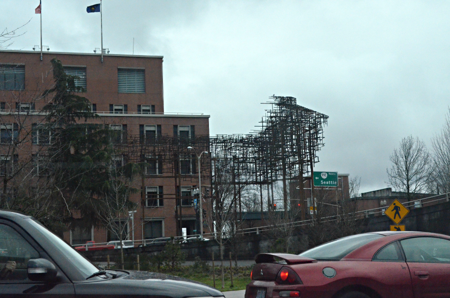
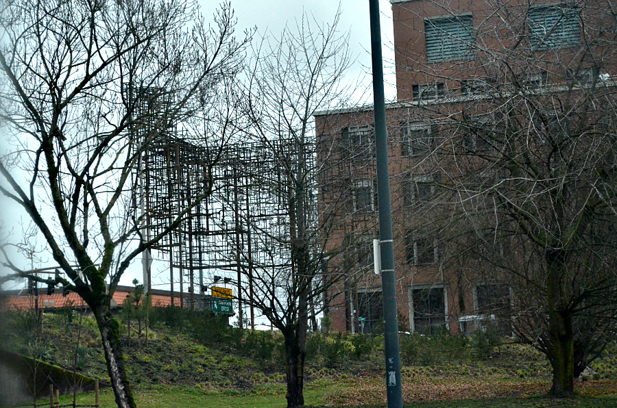
Now. We're back to the series of photos which I am sharing about the changes in the intersection at the east end of the Hawthorne Bridge, either as part of the curve between the eastbound and westbound ramps at SE Grand or as the circle of earth between them, which is also bordered on the west by what is now SE MLK.
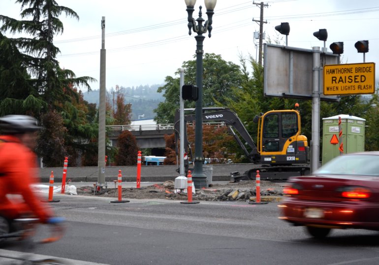
There's a whole lot going on in this photo. I love it. So, these two morning commuters on SE Madison are heading west towards the Hawthorne Bridge proper. Once they cross SE Grand Avenue, running left to right on the photo, they will soon go over the Willamette River and be in downtown Portland. Between them you see dug-up pavement, some sort of heavy equipment which surely moves and/or digs, the orange-and-white traffic bollards, and the workers' port-a-potty. Notice the white plastic on the pavement, almost hidden by the bicyclist? It is covering concrete-filled forms which now extend south from this westbound ramp to the eastbound ramp, creating a curb which prevents vehicles from driving hell-bent-for-leather around the curve, coming east and going west in a loop. You can see one of those vehicles, a white SUV, here in
Monday’s photo. Now in order to make that loop, drivers will actually make two left turns. The curve has been obliterated, redesigned as part of the Streetcar Eastside Loop project. One more really neat thing. See the bit of turquoise and white, just about in the low center of the photo, in the opening between the trees? That is the roof of a TriMet bus, the #6. It has just come off one-way, southbound SE MLK, and will either stop at the bus stop there beside the Hawthorne Bridge, or it will just continue around the loop and head up onto the westbound ramp and take its passengers over the bridge into downtown. You can see it's route on
Monday’s photo, too. It tightly curves closest to the snowy evergreen shrubs. Those shrubs are now removed. Knowing that the roof of the bus is just about even with the roadway gives you an idea of the difference in elevation between the two parallel streets, SE MLK and SE Grand.
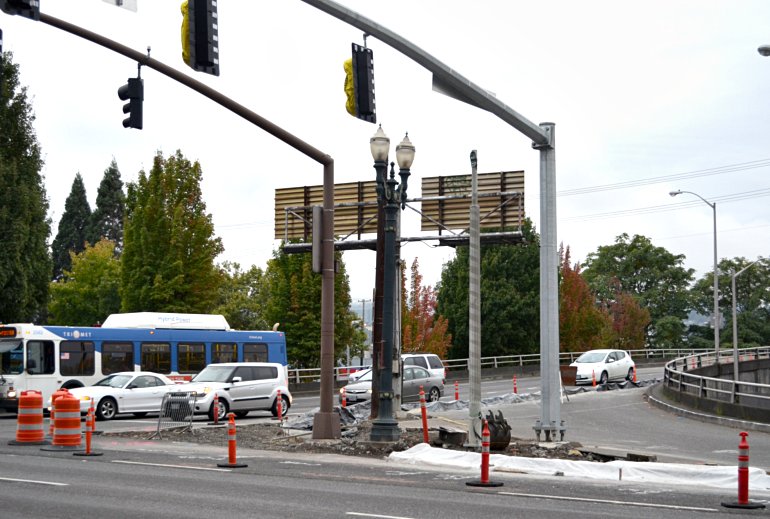
Quite a bit going on in this photo, too. The TriMet bus is stopped at the traffic signal, heading east off the bridge ramp onto SE Hawthorne Blvd., after it crosses SE Grand, the street going left to right across the bottom of the photo. The last white car on the right in the stopped traffic is at the spot where vehicles used to be able to curve left to make the loop back west. Now you can see black plastic covering the forms-and-concrete curb that has been installed to prevent traffic from flowing that way. And you can see the rest of the white plastic covering the southmost end of that new curb. I have to tell you, that I couldn't figure out what would come next because there has never been any pedestrian traffic allowed on that west side of SE Grand. Curious over here.
