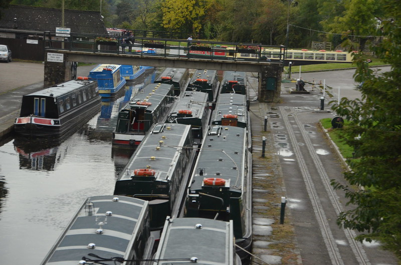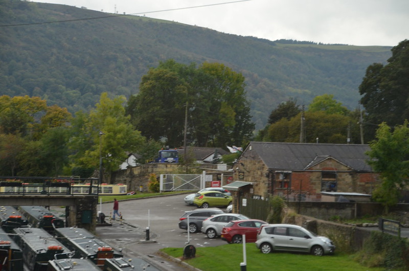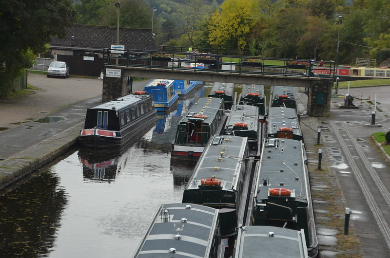
Right out of the camera, not straightened or altered in anyway. Isn't it an enticing sight?

This one's a bit blurry, but since it has that yellow and green boat beyond and to the right of the footbridge, I just have to show it to you. Where, you may wonder, on what is that boat floating?

There's the yellow and green boat again, with a red and white sign at the end. The gold lettering says Aqueduct Cruises. Yep, aqueduct. Isn't that something high up in the air that moves water, built centuries ago by Romans? As I looked out the window, listening to tour director Anna telling us facts about it, I got more and more excited.
Found on the Internet: Pontcysyllte Aqueduct - They call it 'the stream in the sky.' Pontcysyllte means 'the bridge that connects.' It consists of a cast iron trough supported 126 ft. above the river on iron arched ribs carried on nineteen hollow masonry piers (pillars). Each span is 53 ft. wide. To keep the aqueduct as light as possible, the slender masonry piers are partly hollow and taper at their summit. The mortar was made of oxen blood, lime and water. Kind of like treacle toffee. The aqueduct holds 1.5 million litres of water and takes two hours to drain. The structure is 1,007 feet long, with the River Dee running beneath it. The work was undertaken by Thomas Telford and supervised by the more experienced canal engineer William Jessop. The first stone was laid in July 1795. It was completed in 1805 using local stone. This is the largest aqueduct in Britain. It's fed by water from the Horseshoe Falls near Llangollen. The water runs through an iron trough that measures 11 feet 10 inches wide and 5 feet 3 inches deep. It is a Scheduled Ancient Monument; a Grade I Listed structure and was granted World Heritage status in June 2009, putting it on an equal footing with the Great Barrier Reef and Statue of Liberty!
The towpath is mounted above the water, with the inner edge carried on cast-iron pllars in the trough. This arrangement allows the water displaced by the passage of a narrow boat to flow easily under the towpath and around the boat, enabling relatively free passage. Pedestrians, and the horses once used for towing, are protected from falling from the aqueduct by railings on the outside edge of the towpath, but the holes in the top flange of the other side of the trough, capable of mounting railings, were never used. The trough sides rise only about 6 inches (15 cm) above the water level, less than the depth of freeboard of an empty narrow boat, so the helmsman of the boat has no visual protection from the impression of being at the edge of an abyss. The trough of the Cosgrove aqueduct has a similar structure, although it rests on trestles rather than iron arches. It is also less impressively high.
Every five years the ends of the aqueduct are closed and a plug in one of the highest spans is opened to drain the canal water into the River Dee below, for inspection and maintenance of the trough.

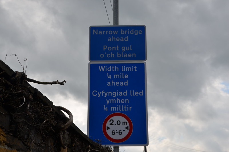
A sign, in English and Welsh, about a bridge beyond where we parked. I wonder if there was a sign about the one that we tried? I didn't find one when I Google-walked around and over the bridge. I did get to see its narrow width and awkward angles. To my non-coach-drive-eye, our coach carrying 52 tour-goers was just too long. I'm so glad that the coach park was as close as it was to the aqueduct. Yea for us! And it didn't rain!

Wonderful shots. I'll go for a ride.
ReplyDelete