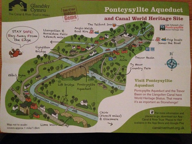
Sweet map. See the aqueduct over the River Dee in the center of the map? Look above it in the light gray area and find the words Anglo Welsh Boat Hire. Where the arrow points to the right from those words is where we began our aqueduct adventure, crossing that narrow little footbridge and turning right to walk along the towpath. Look to the left of the footbridge at the three white buildings with their black roofs in the parking lot. Right up against the back of those buildings, you'll see the narrow bridge on the New Road--the one Tommy tried to drive the coach over and couldn't because of its width and angles. Look down the canal from the footbridge towards the aqueduct itself. See the canal that dead ends into the waterway that crosses the aqueduct? It goes to Llangollen, which is where I think the couple on the Prince had been and now they're on their way back to Chirk--see the arrow at the bottom right of the map--and the end of their adventure so that they can return the Prince to Crest Narrowboats.
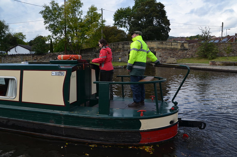
The couple on the Prince.
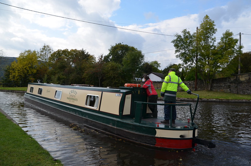
They certainly look relaxed.
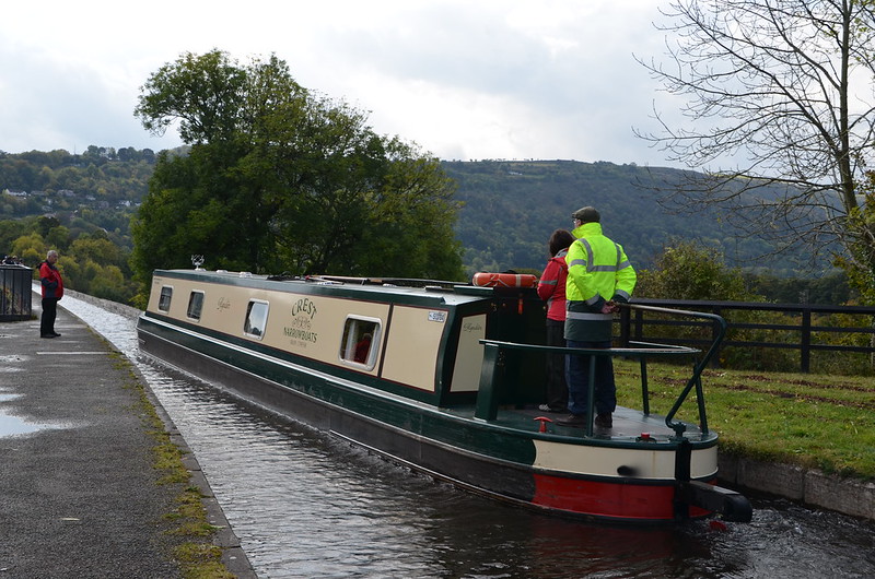
Now that they're nearing the aqueduct which is 126 feet above the River Dee, the man appears more engaged as he guides the boat. I would be, too, if I were in charge. Not that I'd be brave enough to give it a go. Remember reading this a couple of days ago on the blog? The trough sides rise only about 6 inches (15 cm) above the water level, less than the depth of freeboard of an empty narrow boat, so the helmsman of the boat has no visual protection from the impression of being at the edge of an abyss. Scary sounding to me. And here's some advice about being on the narrowboat from the Canal & River Trust Web site: It is recommended that elderly passengers, children and pets should remain inside the craft during the crossing.
From the Canal & River Trust Web side: Pontcysyllte Aqueduct
Everyone should experience a trip over Thomas Telford and William Jessop's awe-inspiring Pontcysyllte Aqueduct, by boat or on foot. It is a Scheduled Ancient Monument; a Grade I Listed structure – and in June 2009 became a World Heritage site, putting it on an equal footing with the Great Barrier Reef and Statue of Liberty. The aqueduct, taking the Llangollen Canal over the beautiful River Dee valley, is 1000 feet long and 125 feet high. Such distances had never before been conquered, until Telford's audacious decision to build it by laying an iron water-carrying trough on stone piers. To this day, the joints are effectively sealed using a mixture of flannel and lead dipped in liquid sugar. For those crossing in a narrowboat, the effect is that of being suspended in mid-air. The iron trough sits about a foot above the water level and is unprotected on one side - so on one side of the boat there is nothing but 128 feet of air to the valley floor below.
And for the non-Welsh speaker, Pontcysyllte is pronounced 'pont-ker-suth-tee' - - you may need to practise the famous Welsh 'll' sound.
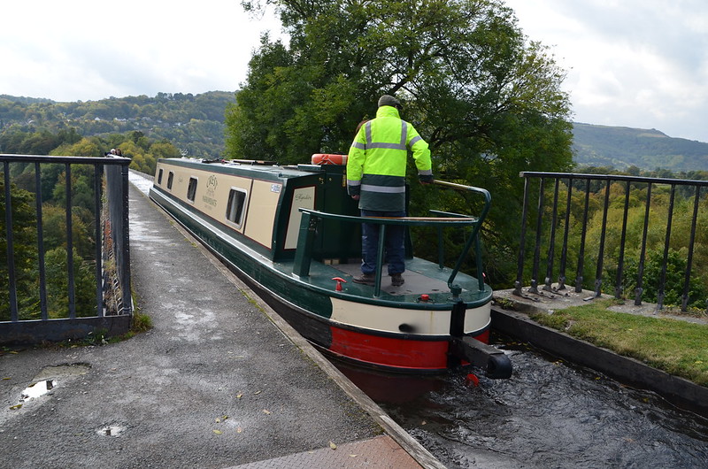
The cast iron trough which holds the canal water is 11ft wide, 5 ft 3 ins deep and 1,007 ft long at its highest point. The Prince enters the aqueduct itself. Right past that tree--that's where the looking into thin air begins!
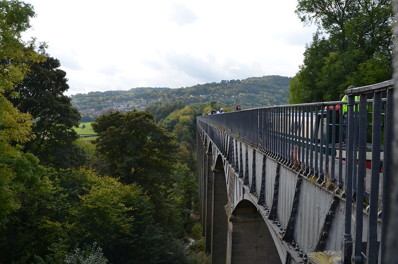
There are 19 arches, each with a 45 ft span and piers 116 ft high. To keep the aqueduct as light as possible, the slender masonry piers are partly hollow and taper at their summit. The mortar was made of oxen blood, lime and water. The use of both cast and wrought iron in the aqueduct enabled the construction of arches that were light and strong, producing an overall effect that is both monumental and elegant. Before I got too far along the towpath, I held the camera over the side and took this photo to show you part of the construction. Amazing!
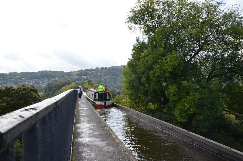
What a sight to see, this section of the 1007 foot long aqueduct with a narrow boat making its way across. Wow!
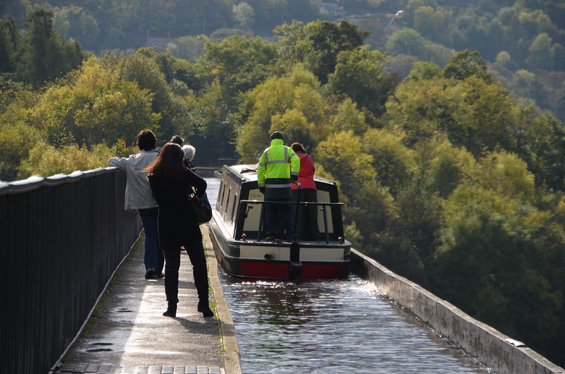
The beauty all around, the fact that we're on an engineering marvel that has been in place since 1805, so awe-inspiring. Thank goodness we had sunshine so that we could enjoy the walk along the aqueduct's towpath. The towpath is mounted above the water, with the inner edge carried on cast-iron pllars in the trough. This arrangement allows the water displaced by the passage of a narrow boat to flow easily under the towpath and around the boat, enabling relatively free passage. Pedestrians, and the horses once used for towing, are protected from falling from the aqueduct by railings on the outside edge of the towpath, but the holes in the top flange of the other side of the trough, capable of mounting railings, were never used.
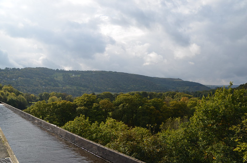
Can you believe I'm on this aqueduct, taking photos? My fear of heights did not come into play as long as I stayed near the railing on my left. I wonder why the railing on my right was never installed when the aqueduct was built? Every five years the ends of the aqueduct are closed and a plug in one of the highest spans is opened to drain the canal water into the River Dee below, for inspection and maintenance of the trough. The aqueduct holds 1.5 million litres of water and takes two hours to drain.
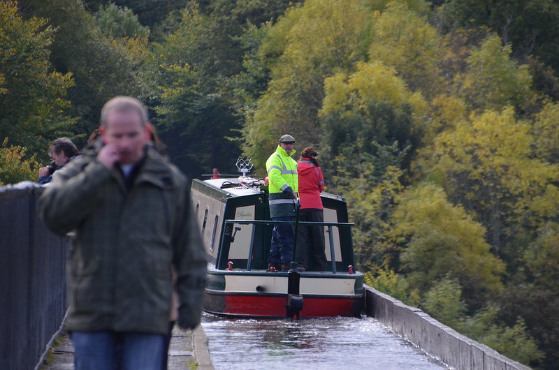
Always curious, I'm wondering what made the man on the Prince look away from what he was doing as he operated the narrow boat. Especially when you take a closer look and notice that there is a man seemingly right in front of the boat, not along its left side as we've been seeing. I walked the aqueduct on Google Maps and saw that the path is on both sides of the canal once it joins land again. I saw the top of a stairway on each side of the canal--I had read that you could go down to see the River Dee, so these steps on the far side of the aqueduct are one way to do that, and they explain how the man ahead of the boat appears to be on the other side of the canal.

3 comments:
A bridge for boat, that's something new for me: some really spectacular shots!
What strikes me is the narrowness of the waterway as it arrives onto the aqueduct. And to be crossing that bridge on water... and looking at trees below, that's the sort of thing that would take getting used to!
That is so cool.
Post a Comment